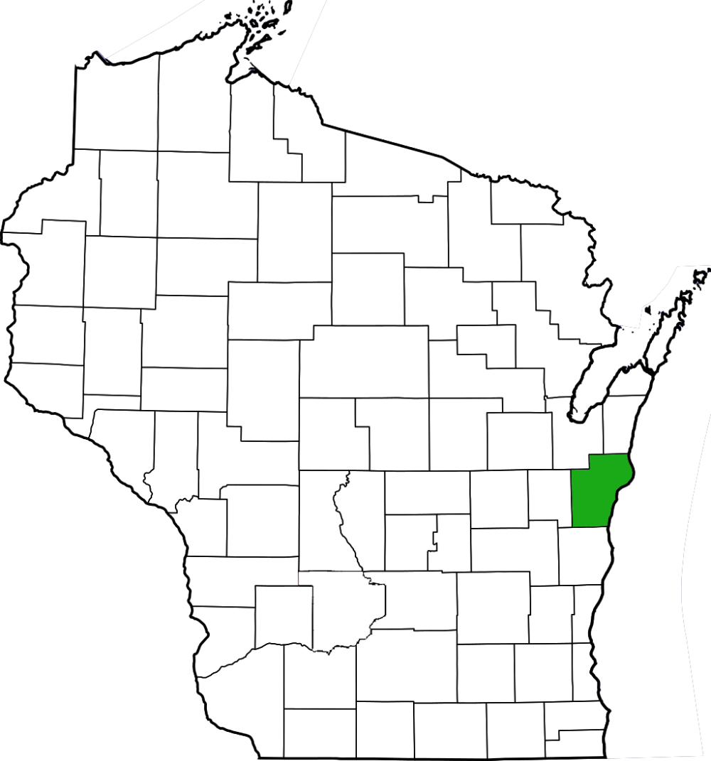
Two Creeks Buried Forest features a unique record of Wisconsin’s glacial history in the extreme northeastern corner of Manitowoc County. A parking area is located on the east side of the T-intersection of STH 42 and CTH BB. Walk toward the lake and find a shallow place to amble down and see the profile of the “buried forest”.
Two Creeks Buried Forest is a site likely best seen with an expert. To the untrained eye, the profile of the bluff doesn’t seem like much. Layers of soil overlay layers of clay, but large trees, roots, and their limbs from thousands of years ago were lacking in the areas I investigated. These layers are said to contain the remants of forests that sprang up in the years between glacial advances approximately 11,850 years before present and as such, this area is also a designated Ice Age National Scientific Reserve that is a prized site for botants, geologists, ecologists, and climate scientists. The upland portion appears to be an old field that perhaps could be restored to prairie with some effort and funds. Otherwise, enjoy a stroll along the wind-swept sandy shoreline of Lake Michigan while you ponder with Kewaunee County (which the parking area abuts) is the only county comprised of state land without a designated State Natural Area. Menominee County, the entirety of which is a Native American reservation also does not have any SNA’s. So close Kewaunee!


More of my photos (and full-res) from Two Creeks Buried Forest can be viewed here.
Additional Information
| SNA # | 50 |
| County | Manitowoc |
| Natural Communities / Geology | Buried Forest, Glacial History |
| Size (Acres) | 16 |
| Parking | Parking Area (gravel) |
| Trails | No |
| Easy to Find | Yes |
| Best Seen By | Foot |
| Marked Boundaries | No |
| Ownership | Wisconsin DNR |
| Located Within |
n/a |
| Dates Visited | 5.27.12 |
|
|
|---|