
Point Beach Ridges encompasses a series of 11 ridges and swales representing former shorelines of the Nippissing Great Lakes, a term for Lakes Superior, Michigan, and Huron which were all connected after the glaciers receeded but with much higher water levels than at present. A small pull-off is located on the east side of CTH O from which a gated access road/snowmobile trail leads due east toward Lake Michigan. Though located within Point Beach State Forest, it is far from the developed trails in the northern portion of the forest. One can reach the site from the north by walking along the beach, though a river crossing would be necessary.
The ridges and swales are evident to the side of the path as you walk east. The swales held standing water and both the swales and ridges away from the lake were forested. The tree density thinned heading east until reaching the lakeshore where shrubs and wildflowers were scattered about the sandy surfaces. Though several rare plants are found here, on this day, puccoons were the dominant observation. The presence of these dunes harkens back to a much earlier time when the lake level was much higher amidst surely different plant communities. Since the time of my visit, the site has expanded over 3 1/2-fold from 155 to 587 acres and as such, a revisit is most certainly in order.


More of my photos (and full-res) from Point Beach Ridges can be viewed here.
Additional Information
| SNA # | 87 |
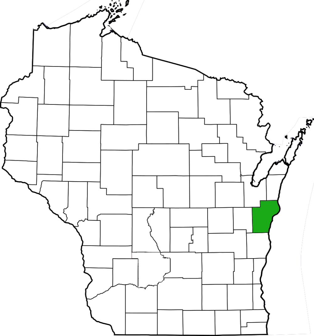
| County | Manitowoc |
| Natural Communities / Geology | Dune, Ridge, Swale, Northern Mesic Forest |
| Size (Acres) | 558 |
| Parking | Parking Area (paved) |
| Trails | Yes |
| Easy to Find | Yes |
| Best Seen By | Foot |
| Marked Boundaries | No |
| Ownership | Wisconsin DNR |
| Located Within | |
| Dates Visited | 5.27.12 |
|
|
|---|


3 Comments Add yours