
East Fork of the Black River features one of the longest stretches of undeveloped river in the state and a ridge and swale complex with alternating bands of northern dry-mesic forest and a variety of wetlands. This site is directly adjacent to yesterday’s blog post, Arbutus Oaks, and the same parking area at the end of Campground Road east of Hatfield, can be used to access both sites. From the parking area, a trail leads east along the river into the natural area.
The field trip continued by walking from Arbutus Oaks across the parking area and down a trail into the East Fork of the Black River. The weather continued its overcast, drizzly pattern, but the wildflower life perked up a bit. Though a bit past peak, we were able to see bunchberry, bluebead lily, wild sarsaparilla, hog peanut, and the lest vestiges of large-flowered trillium which had mostly turned pink as they entered senescence. Water levels along the river were fairly high and covered areas of typically exposed bedrock. This trip was limited to the trail, so I have a desire to return and explore the ridges and swales in greater depth. This is an ecosystem more typically observed with old lake shorelines that left a series of sandy ridges such as at Kohler Park Dunes, Wilderness Ridge, Whitefish Dunes, The Ridges Sanctuary, Point Beach Ridges, and Woodland Dunes, where forested ridges and wetland swales abound.


More of my photos (and full-res) from East Fork of the Black River can be viewed here.
400 more blog posts to go! Well, actually a few more than that remain; counting SNA’s delisted since I started and a few SNA’s to be designated, the current total is 687, though hopefully, that will increase!
If you would like to help support this project, please consider a donation. There are many SNA’s yet to visit and even more to revisit and I ultimately plan to write a book about my adventures. Thank you!

Additional Information
| SNA # | 612 |
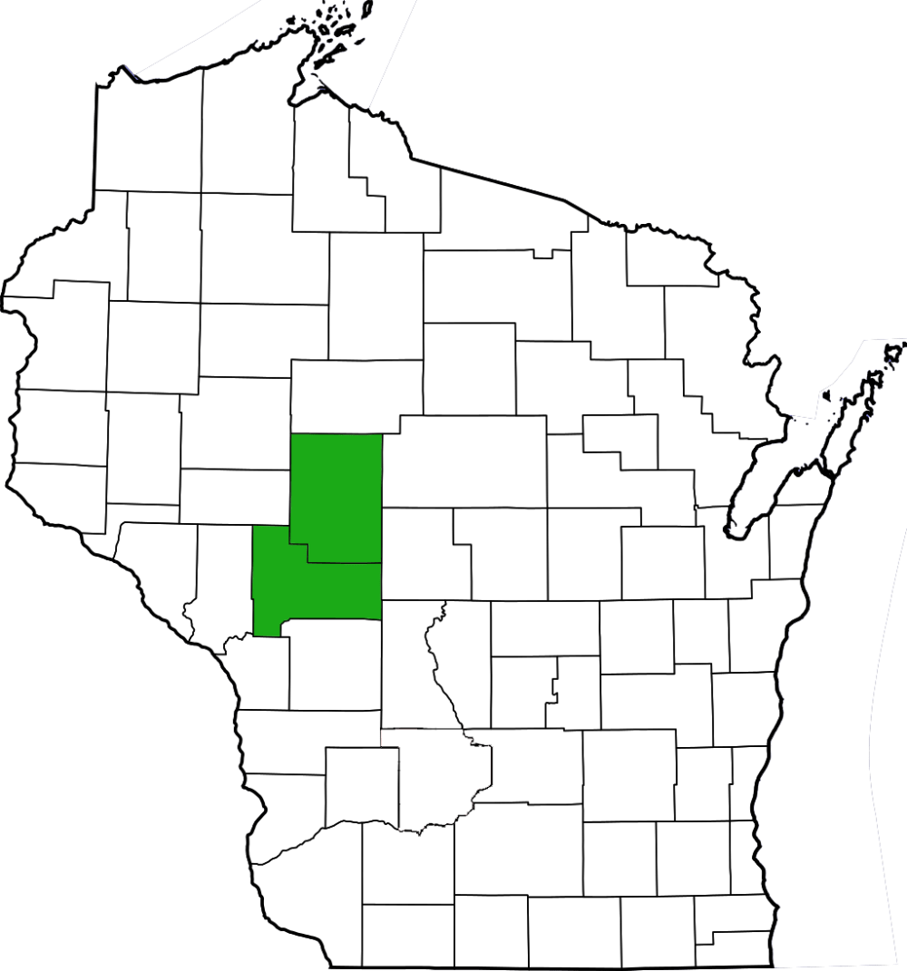
| County | Clark, Jackson |
| Natural Communities / Geology | River, Swamp, Northern Sedge Meadow, Alder Thicket, Northern Dry-Mesic Forest |
| Size (Acres) | 513 |
| Parking | Parking Area (Paved) |
| Trails | Yes |
| Easy to Find | Yes |
| Best Seen By | Foot |
| Marked Boundaries | No |
| Ownership | Wisconsin DNR |
| Located Within | Black River State Forest |
| Dates Visited | 6.7.13 |
|
|
|---|


One Comment Add yours