
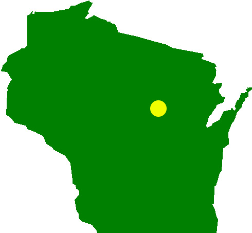
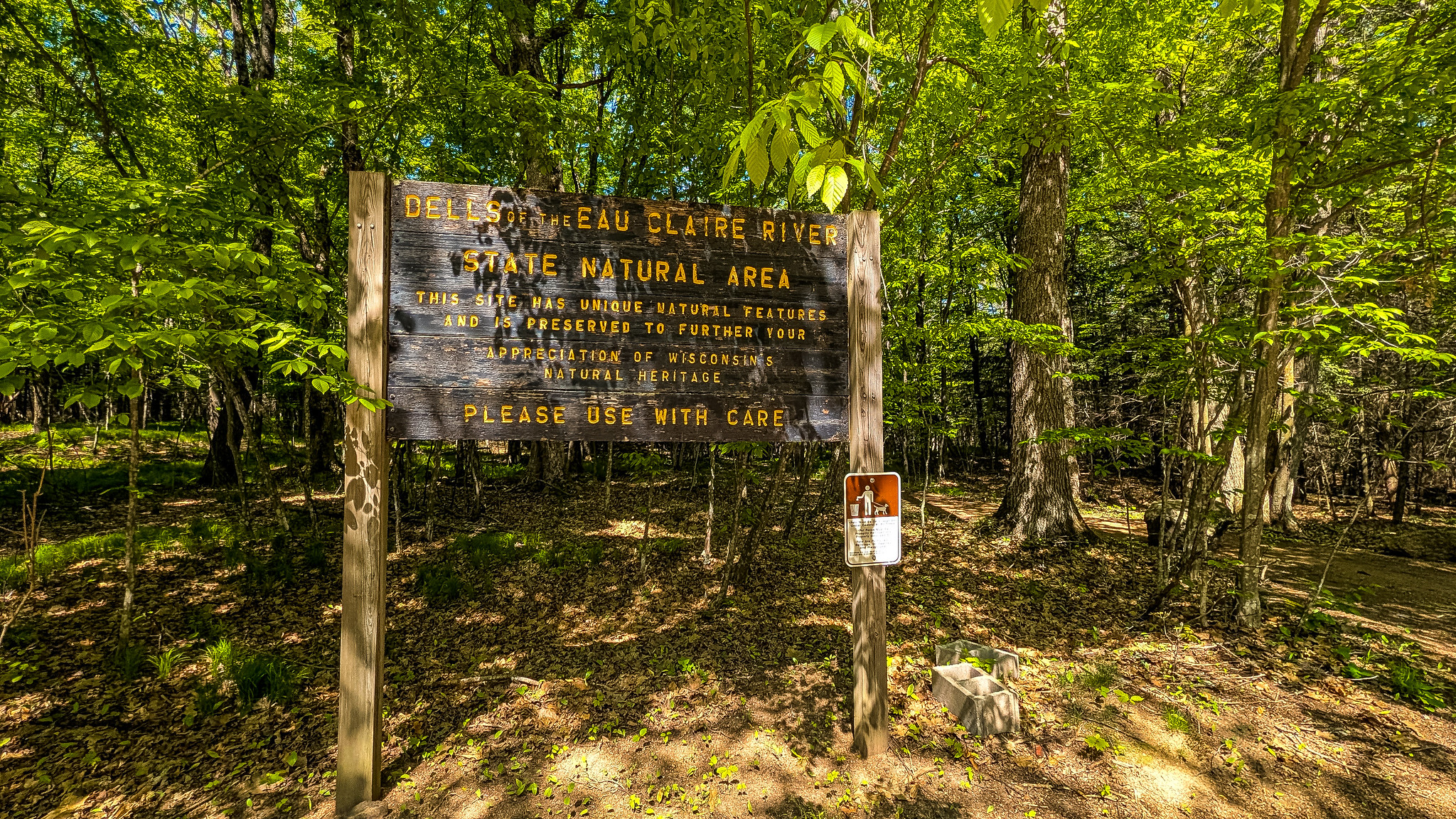
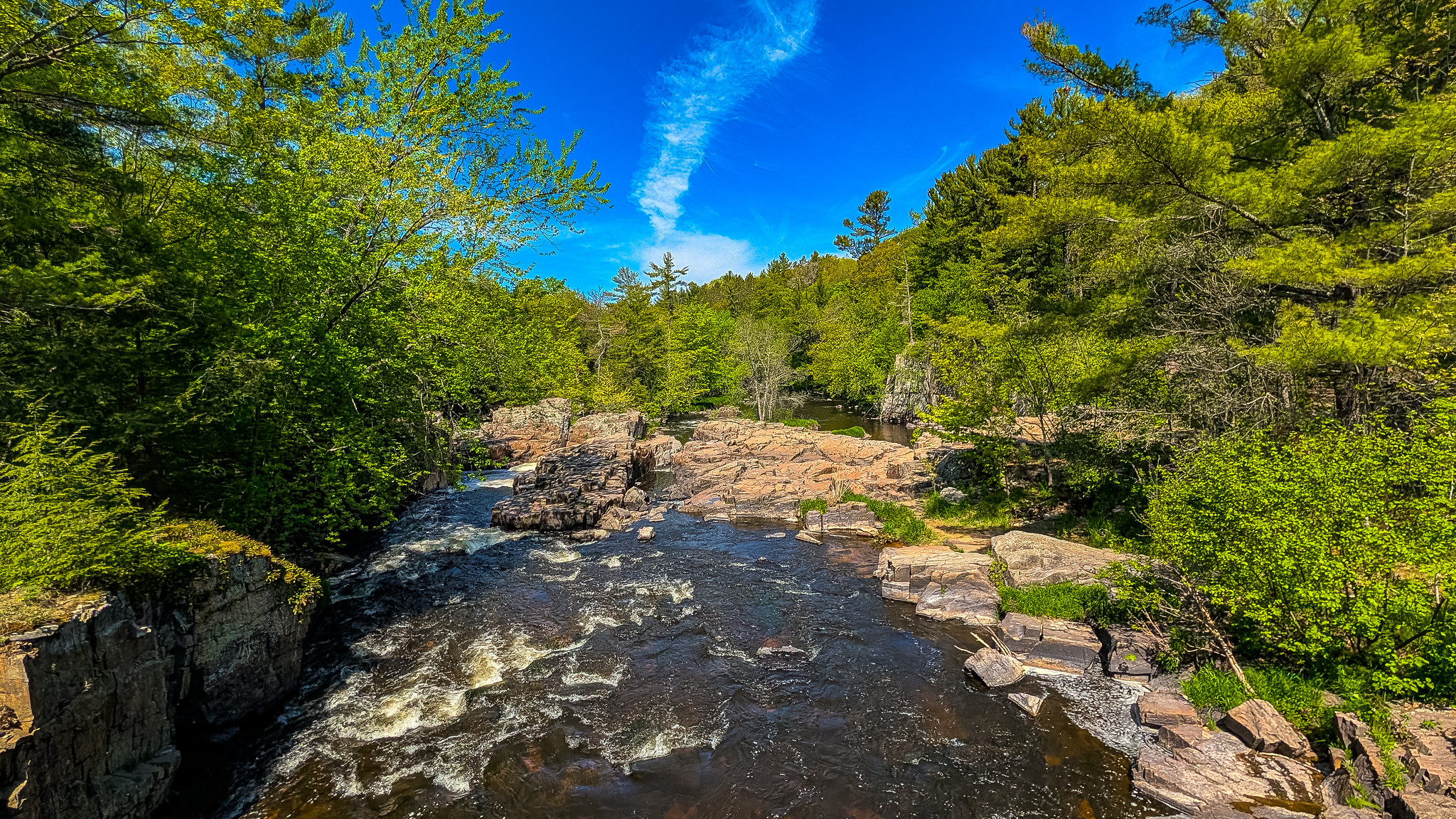
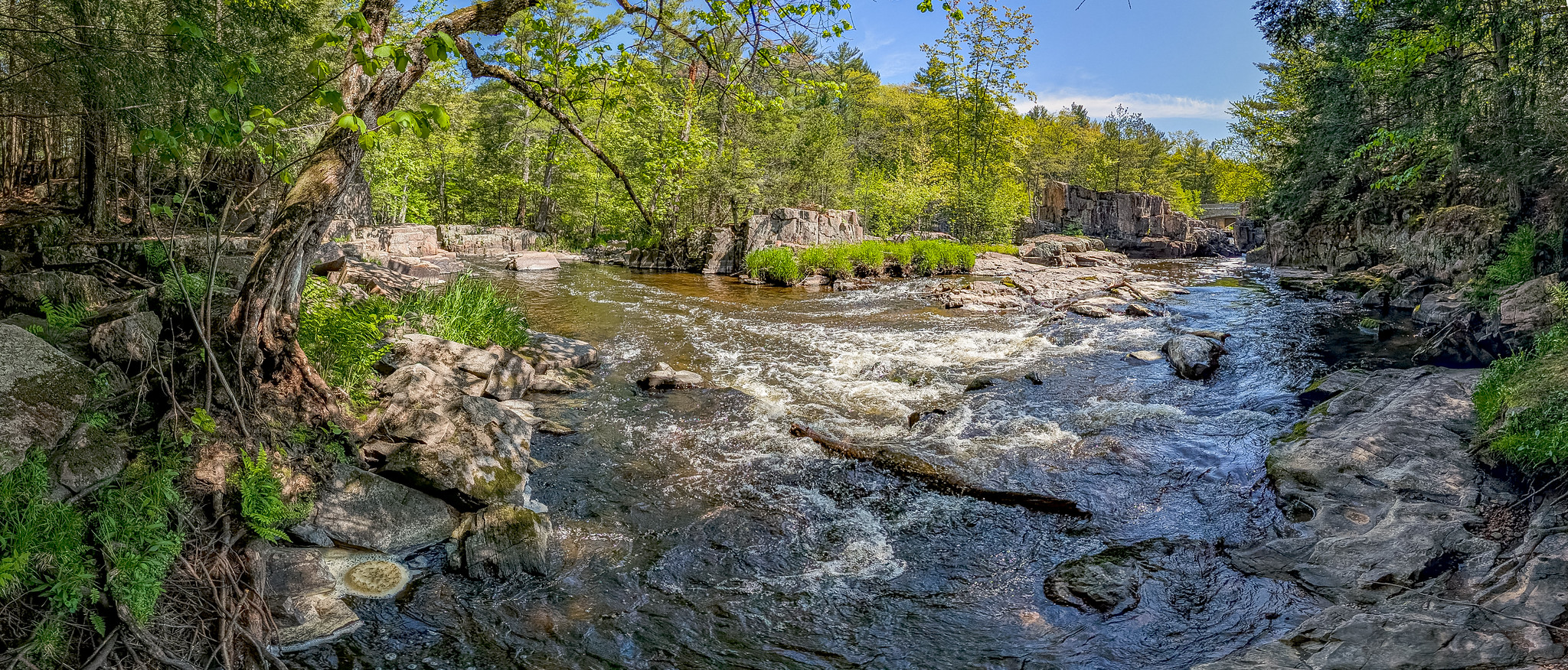
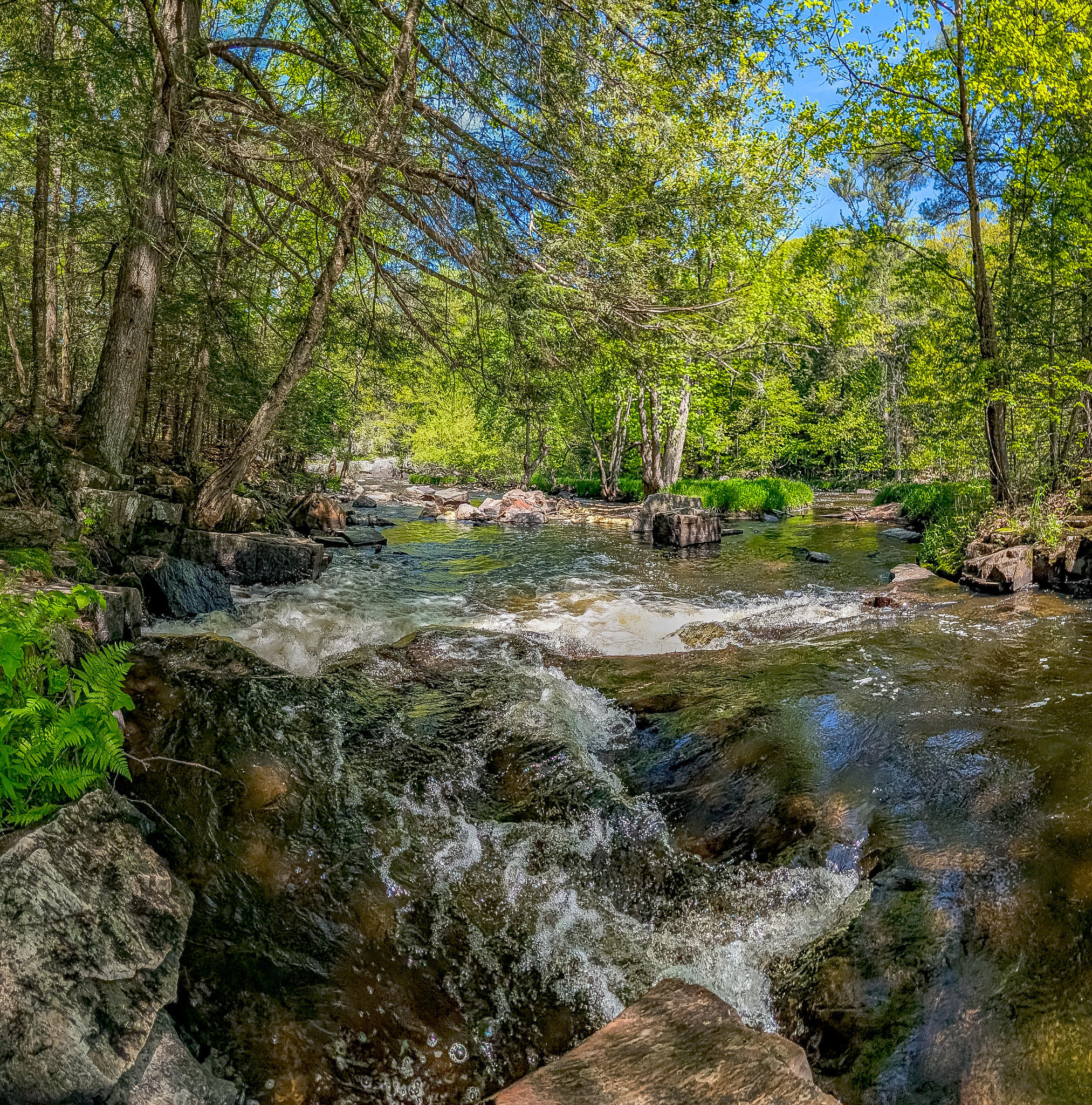
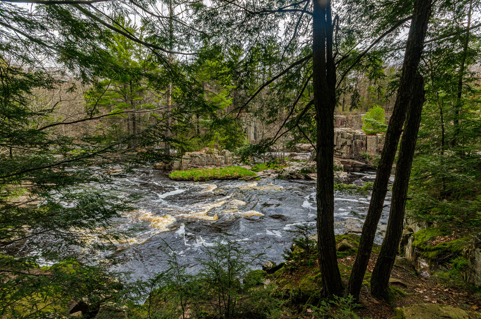
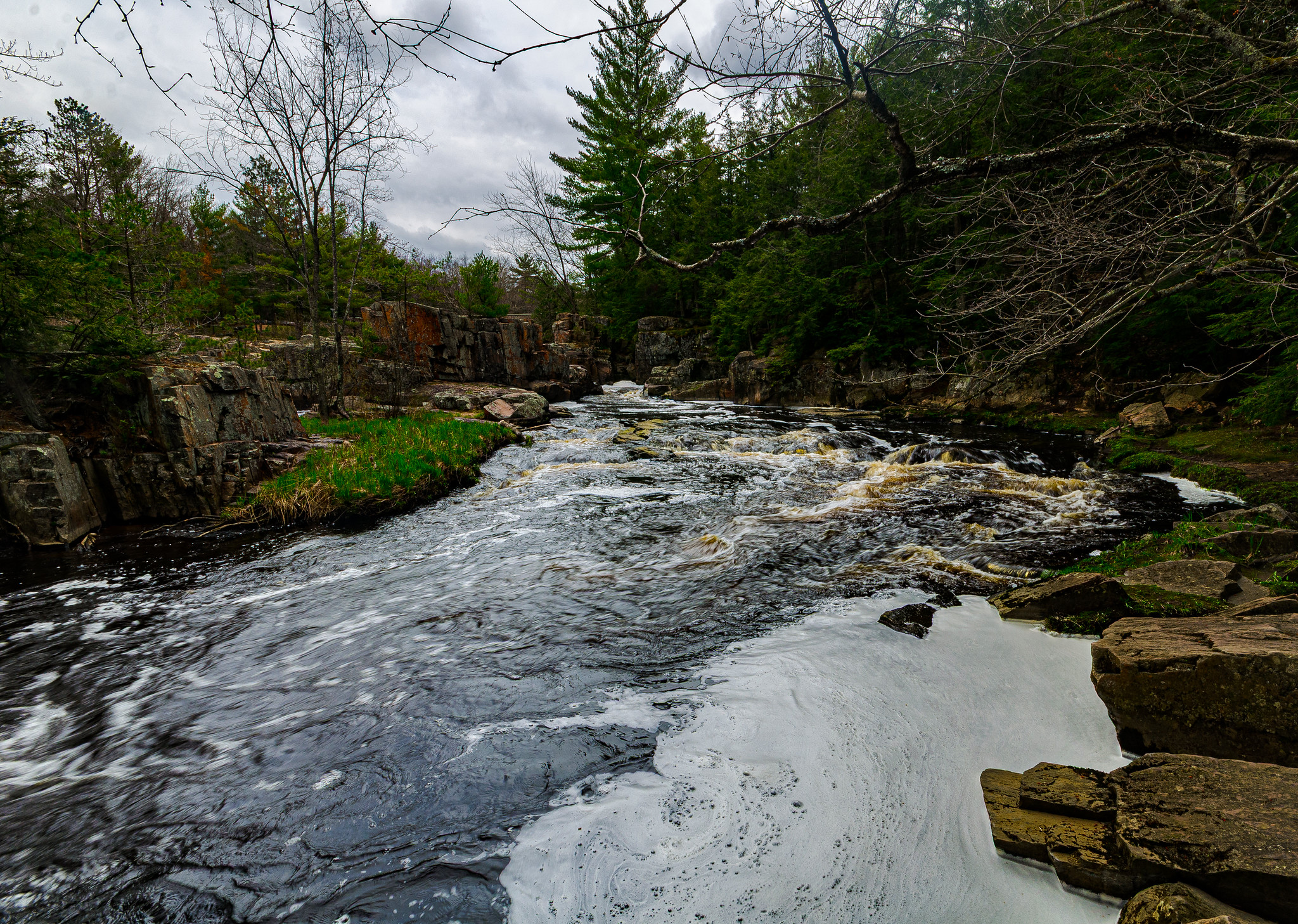
Dells of the Eau Claire River encompasses a rocky river gorge and surrounding forest within the confines of the eponymous county park. A beautiful place to catch spring ephemeral wildflowers, rushing water, impressive rock formations, and photogenic hemlocks.
Dells of the Eau Claire River County Park is located in the town of Plover, on both sides of the river, which runs east-west, and on both sides of CTH Y, which runs north-south. Several parking areas serve the park with most on the north side of the river. The only parking area south of the river (and also west of CTH Y) provides convenient access to the SNA. Several loop trails interlace and provide access to the SNA interior. A small portion of the natural area is located on the north side of the river and a trail provides further access there if desired.
From the parking area south of the river a network f trails loops through the SNA. The trail furthest west is entirely outside the bounds of the SNA, which can generally be described as ending at the “High Bridge”. One can proceed south from the bridge out of the SNA and then back into it as the trail turns east. Another option is to take the trails north of the river (consisting mostly of the Ice Age Trail and offshoots) to make a loop that way.
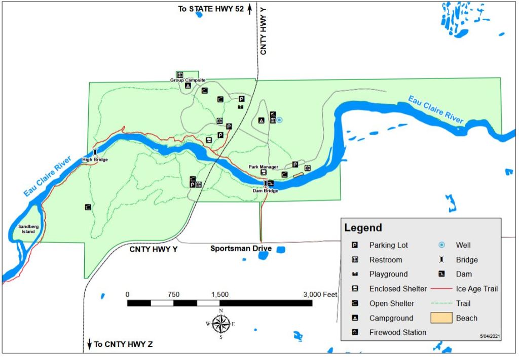
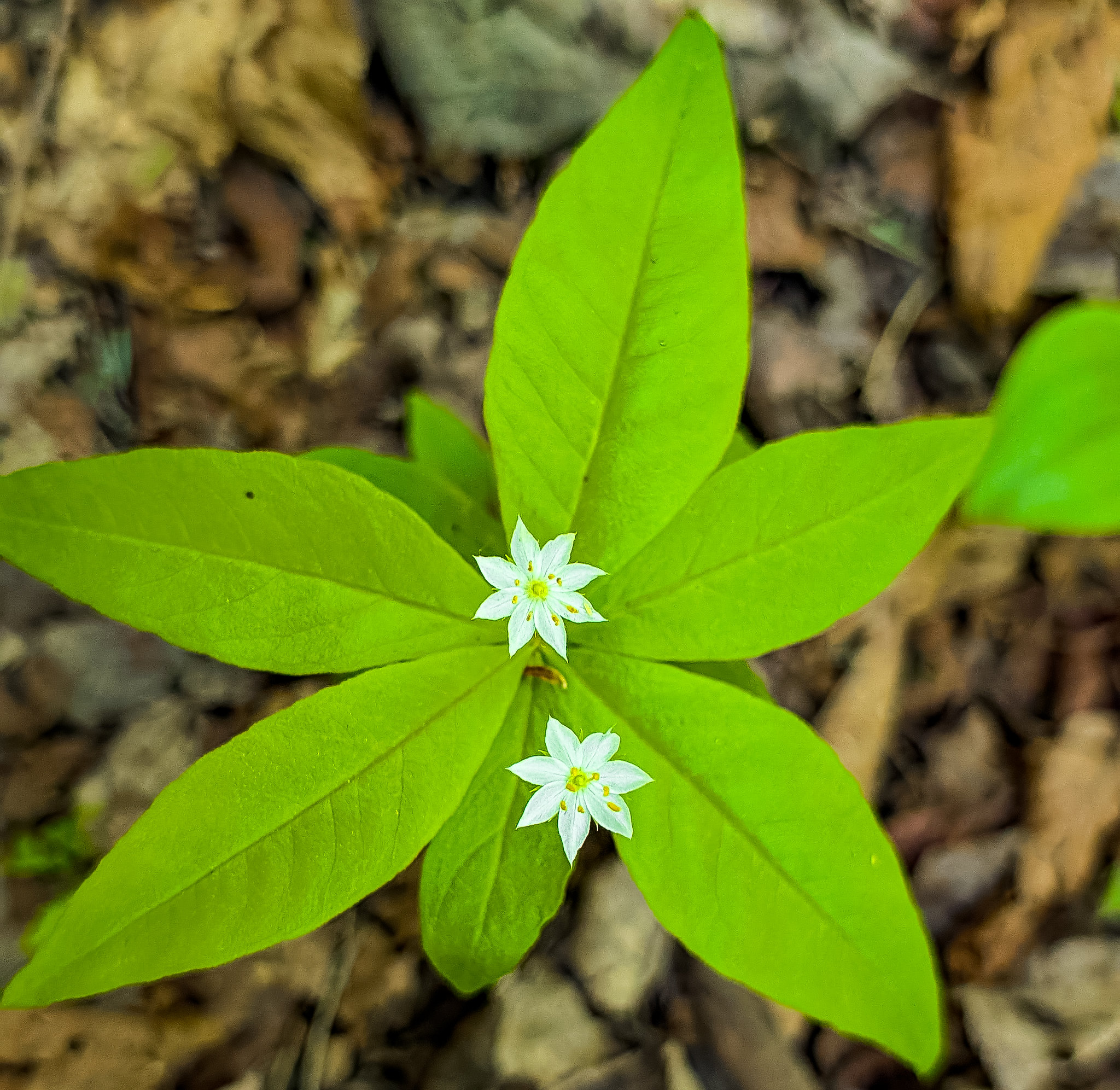
As mentioned in my previous post (Plover River Woods (Visit #344)), I visited that SNA and this one as part of a Natural Resources Foundation of Wisconsin field trip. Sticking to the trail on this visit, I did not notice an incredible array of spring ephemerals. Areas near the river are rocky and numerous unofficial trails have removed vegetation from the area. The southernmost trail delves a bit deeper and lower into the forest and, along with the interior trails, could be better options for wildflowers earlier in the year.
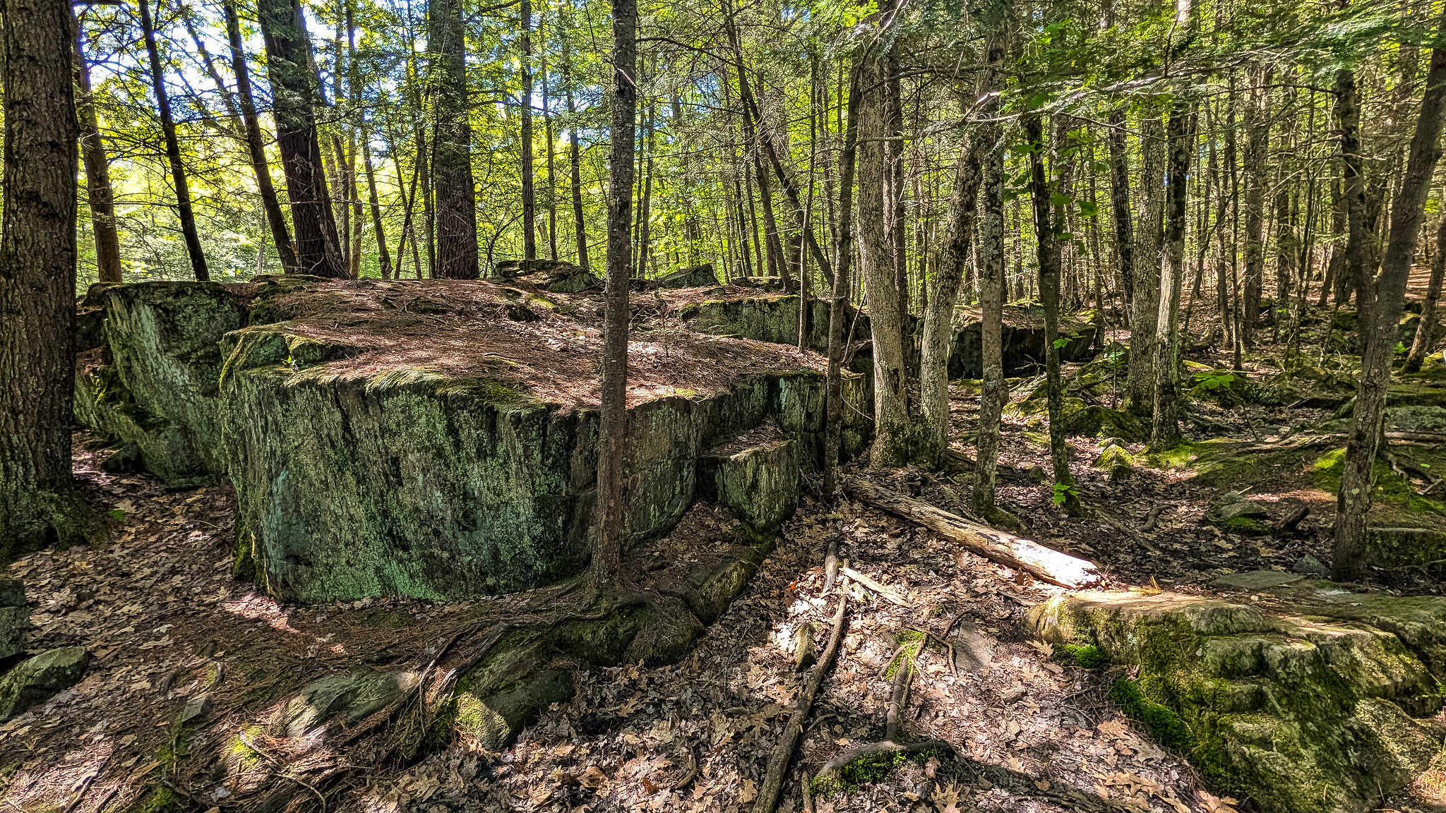
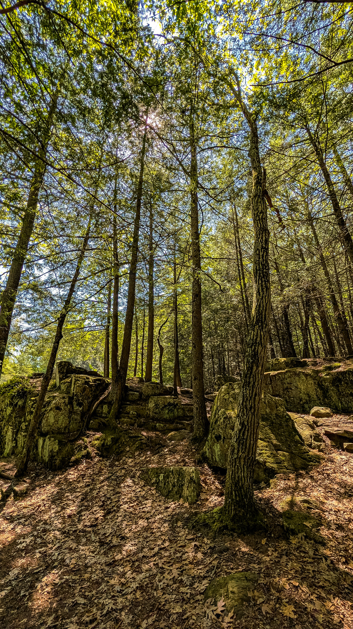
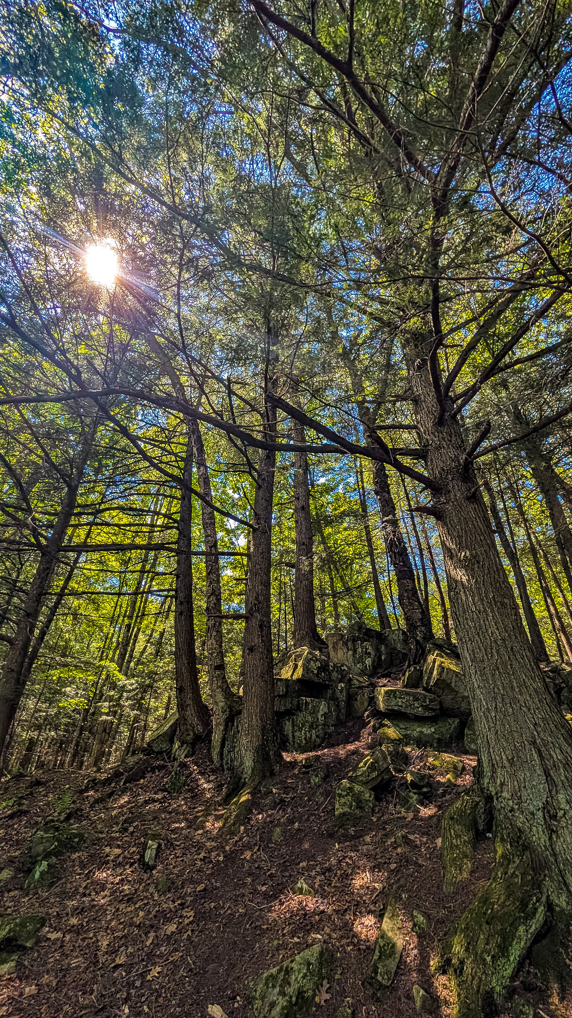
Tough to go wrong with the ancient rock buttresses and hemlocks seeming to burst directly out of them. Something about the discordant shapes emerging at odd angles from the ground speaks to the raw power of the planet’s natural processes and how this area and the state of Wisconsin, in general, were formed.
In terms of a revisit, having now visited twice, I believe I have seen the site well and don’t ‘have to’ visit again. If I was in the area, I would definitely stop by again and traverse both the interior trails south of the river and the Ice Age Trail on the north side.
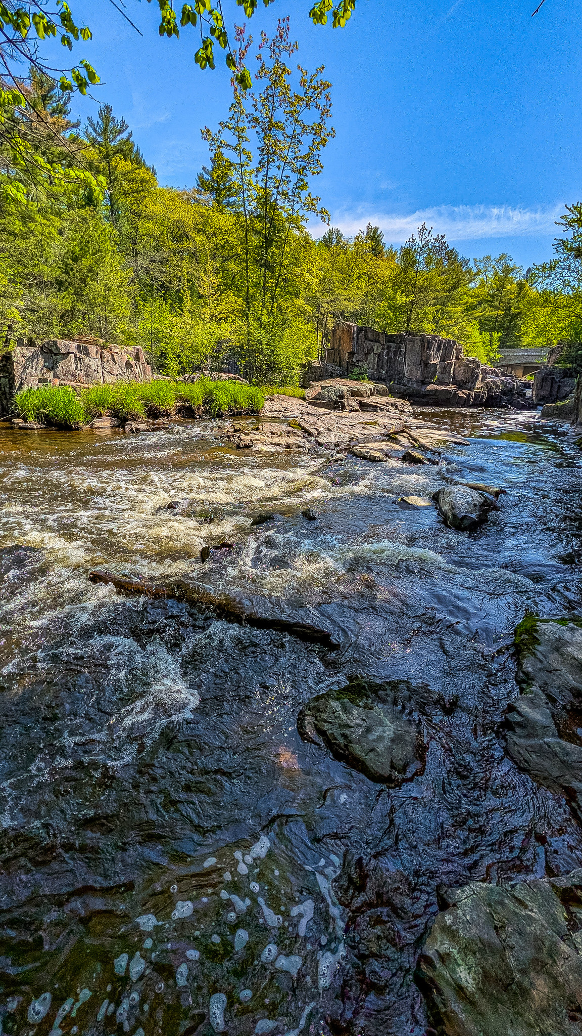
Additional photos can be found on Flickr.
| SNA # | 109 |
| County | Marathon |
| Natural Communities / Geology | River, Gorge, Northern Mesic Forest |
| Size (Acres) | 41 |
| Parking | Parking Areas |
| Trails | Yes |
| Easy to Find | Yes |
| Best Seen By | Foot |
| Recommended Footwear | Hiking boots |
| Marked Boundaries | No |
| Ownership | Marathon County; More information: Wisconsin DNR |
| Located Within | Dells of the Eau Claire County Park |
| # Visits (at time of posting) | 2 |


One Comment Add yours