
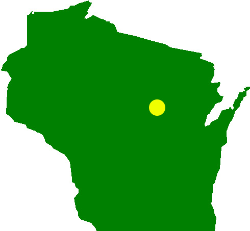
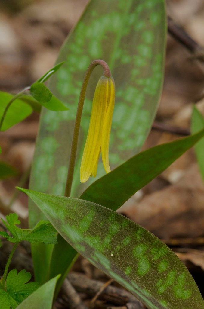
Plover River Woods is a spectacular locale for observing a wide array of spring ephemeral wildflowers. Comprised of northern mesic and northern wet-mesic forests, this is a wonderful location to visit anytime of year, but particularly late April into mid-May.
Found within the Plover River Fishery Area, Plover River Woods is easily accessible from a large gravel parking area off of South Pole Rd, northwest of the village of Birnamwood.
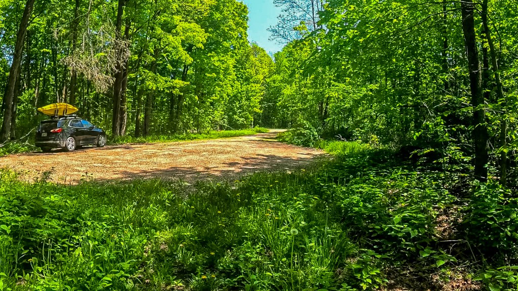
The photo below is a GoPro screenshot on the return hike from the SNA proper showing the parking area. South Pole Rd. is visible in the background. This parking area is found in the southeast corner of the portion of the SNA bordering the road. Interestingly, the parking area is not referenced in the DNR’s directions for visiting this site or PDF map; instead, it notes to travel along South Pole Rd. and then “Park and walk west into the site.” The parking area is shown on the DNR’s Public Access Lands map online and is shown in the map near the end of this post.
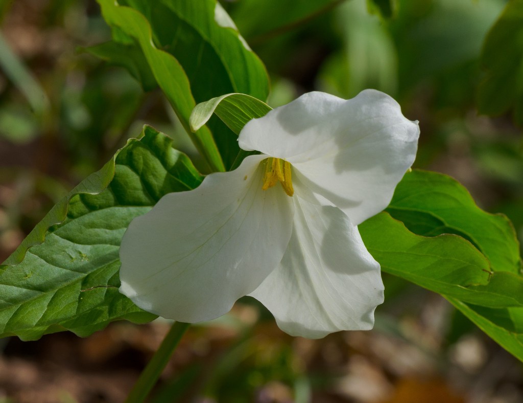
I have had the pleasure to visit Plover River Woods on 2 occasions. My first trip here was many years ago in 2014 as part of a Natural Resources Foundation of Wisconsin field trip led by the now-former ‘dean’ of the SNA program, Thomas Meyer. This field tirp was part of two-fer on the day, together with a trip to the Dells of the Eau Claire River SNA / County Park. I recall picking wild leek leaves (with permission, as this is typically not allowed on SNA lands) and adding them to my sandwich for lunch….exquisite.
This 2014 visit (14 May) was certainly closer to peak spring ephemeral wildflower season than my visit earlier this year (26 May). Certainly, there is variation in terms of weather patterns and rain, but I would aim for 01-10 May for an opportunities to see the best ephemerals. Lush green vegetation was the theme of the day toward the end of May, though a decent array of wildflowers remained for observation.
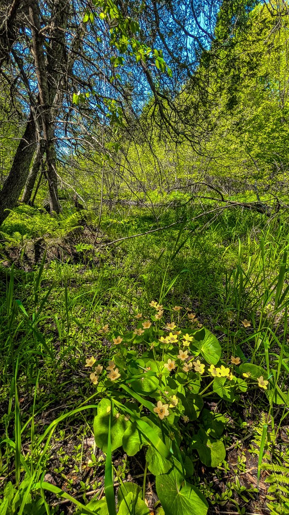
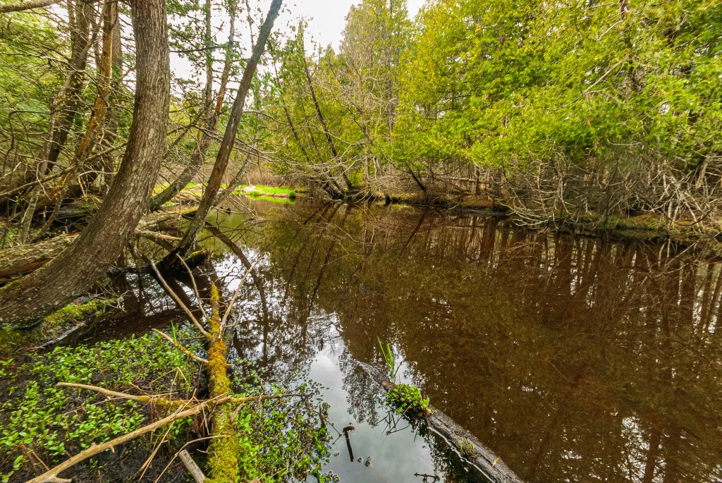
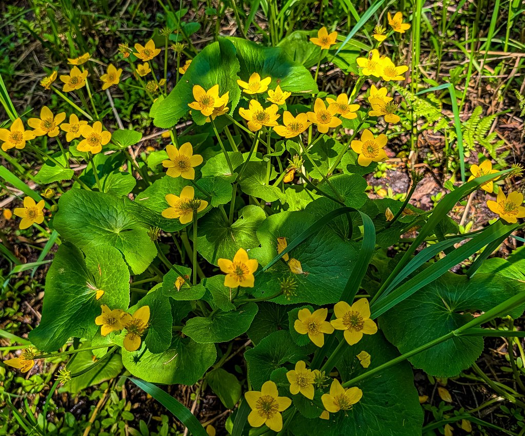
From the parking area, one can head directly west along the degraded two-track, following the southern boundary of the SNA. There are a variety of deer trails at times that can be used to meander further into the natural area as well. The Plover River is positioned diagonally from NE to SW on the eastern half of the SNA, before bending to the NW in the western half. The areas adjacent to the river are a lowland forest, with white cedar, soggy footing, ephemeral wet spots, and a cornucopia of the blissful yellow blossoms of marsh marigold.
Depending on water levels, the river “seems” fordable at points, though the bottom appears quite mucky and I don’t advise trying to cross. Paddling seems specious at best as well, again, depending on water levels.
In terms of a revisit, I would never mind spring ephemeral season as it always seems so variable and this is certainly one of the best SNAs to visit on that front. That said, I have visited here twice now and have seen it quite well. Were I to return, it may be to try and cross the river to see more of the northern/northwestern portions of the site.
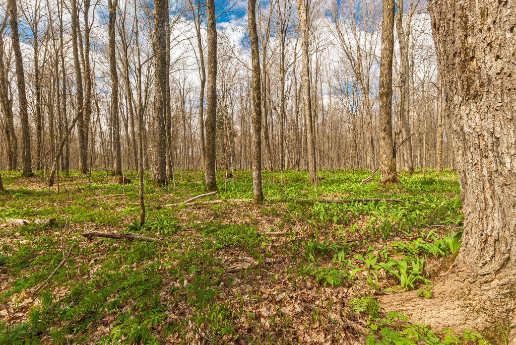
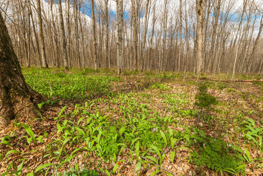
Additional photos can be found on Flickr.
| SNA # | 574 |
| County | Marathon |
| Natural Communities / Geology | Northern Mesic Forest, Northern Wet-Mesic Forest |
| Size (Acres) | 284 |
| Parking | Parking Area |
| Trails | No |
| Easy to Find | Yes |
| Best Seen By | Foot |
| Recommended Footwear | Hiking boots / Rubber boots |
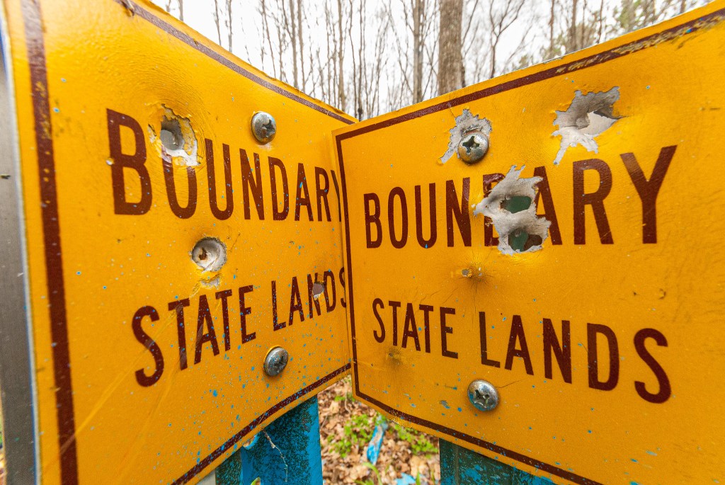
| Marked Boundaries | No |
| Ownership | Wisconsin DNR |
| Located Within | Plover River State Fishery Area |
| # Visits (at time of posting) | 2 |


2 Comments Add yours