Upper Black River features a variety of natural communities along stretches of the Black River and a few of its tributaries. Floodplain forest, mesic forest, and dripping cliffs line these waterways. As one would expect with a property this large containing several parcels, there are numerous ways to access it. A DNR parking area and boat landing is located off of CTH E near West Road and provides access to the Black River proper.
Upper Black River is another site that deserves another visit (or several) to truly appreciate what it protects. I access this area as decribed above which provides access to the southern portion of the natural area. Another boat landing lies a bit further north and CTH K and Morrison Road provide access to the remaining parcels. As to be expected, Upper Black River had a very similar feel to East Fork of the Black River, with forest-topped cliffs and photogenic seeps and streams descending toward the river. Spring wildflowers including bluebead lily, wild geranium, and Virginia waterleaf were abundant below the cliffs. A variety of ferns dominated the landscape as well. Informal trails lead from the parking area more or less parallel to the shore, but several stream and seep crossings were necessary to progress along the river. I definitely plan to return here and in particular, to the the disjunct parcels.


More of my photos (and full-res) from Upper Black River can be viewed here.
400 more blog posts to go! Well, actually a few more than that remain; counting SNA’s delisted since I started and a few SNA’s to be designated, the current total is 687, though hopefully, that will increase!
If you would like to help support this project, please consider a donation. There are many SNA’s yet to visit and even more to revisit and I ultimately plan to write a book about my adventures. Thank you!

Additional Information
| SNA # | 614 |
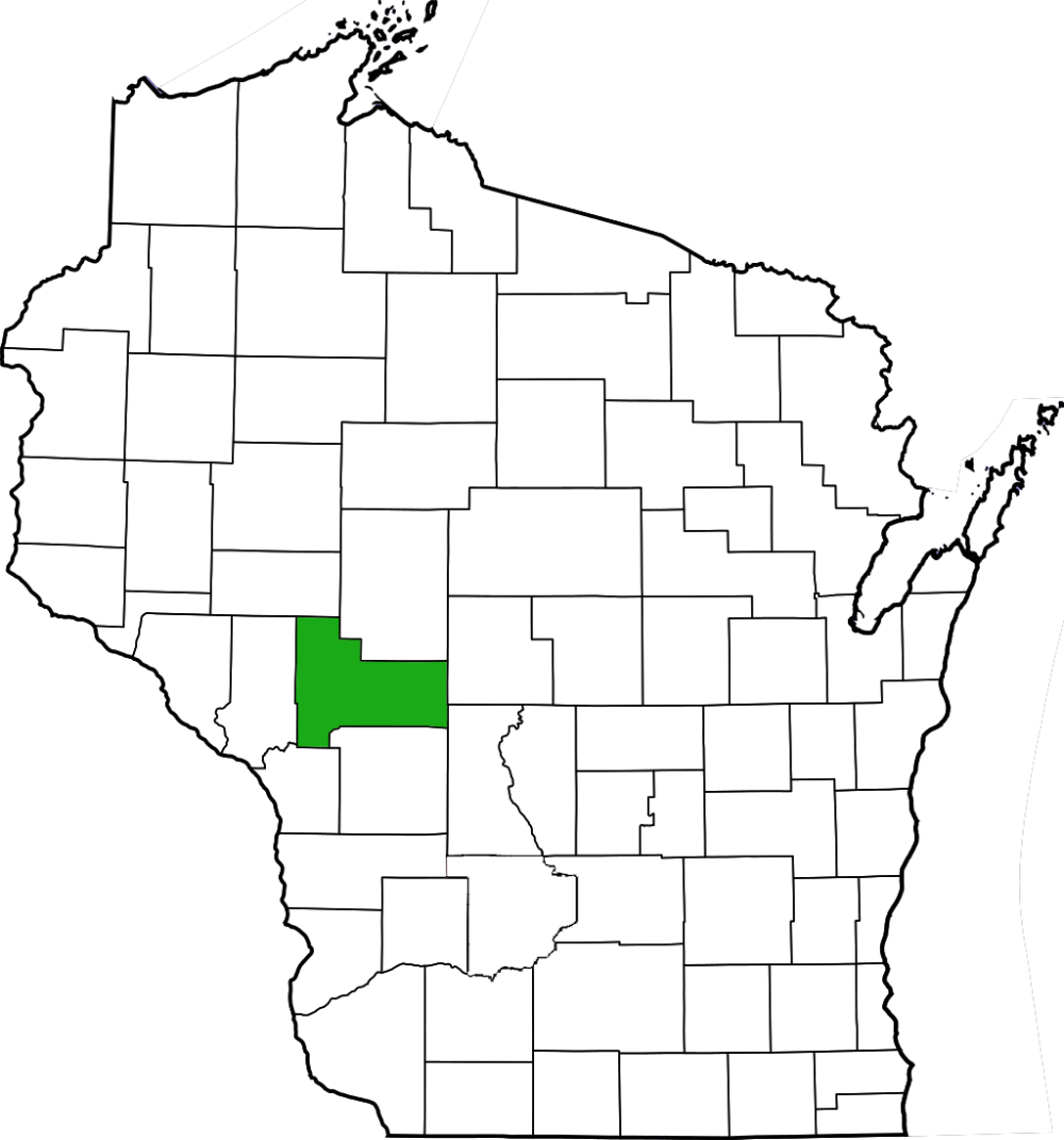
| County | Jackson |
| Natural Communities / Geology | River, Floodplain Forest, Black Ash Swamp, Mesic Forest, Dry-Mesic Forest, Cliff, Creek |
| Size (Acres) | 1533 |
| Parking | Parking Areas (paved) |
| Trails | Yes |
| Easy to Find | Yes |
| Best Seen By | Foot, Kayak |
| Marked Boundaries | No |
| Ownership | Wisconsin DNR |
| Located Within | Black River State Forest |
| Dates Visited | 6.7.13 |
|
|
|
|---|