Rush Creek features a series of dry prairies on southwest-facing bluffs along a 2 mile stretch overlooking the Mississippi River. The namesake creek meanders through a portion of the site and a floodplain forest surrounds it. There are numerous points of access for the 9 separate parcels of land. The DNR-recommended access points are a small pull-off on Rush Creek Road which will get you close to the creek and floodplain forest or a parking area slightly further north on STH 35 which puts you at the base of a bluff.
This is another bluff site where your progress is limited by your ability to scramble up a slope. From the parking area along STH 35, Rush Creek has a similar feel to Bergen Bluffs and Limery Ridge Savanna in the steepness of the access as well as the thickness of the understory. On the other hand, there is a small prairie remnant closer to the base than at those other sites, though it is subject to invasion by woody species such as sumac. Prairie coreopsis, vervain, and wild bergamot were the most abundant flowering species noted in this area. Rush Creek is high on my list to revisit due to the large number of parcels and the prairie potential they contain.


More of my photos (and full-res) from Rush Creek can be viewed here.
Additional Information
| SNA # | 170 |
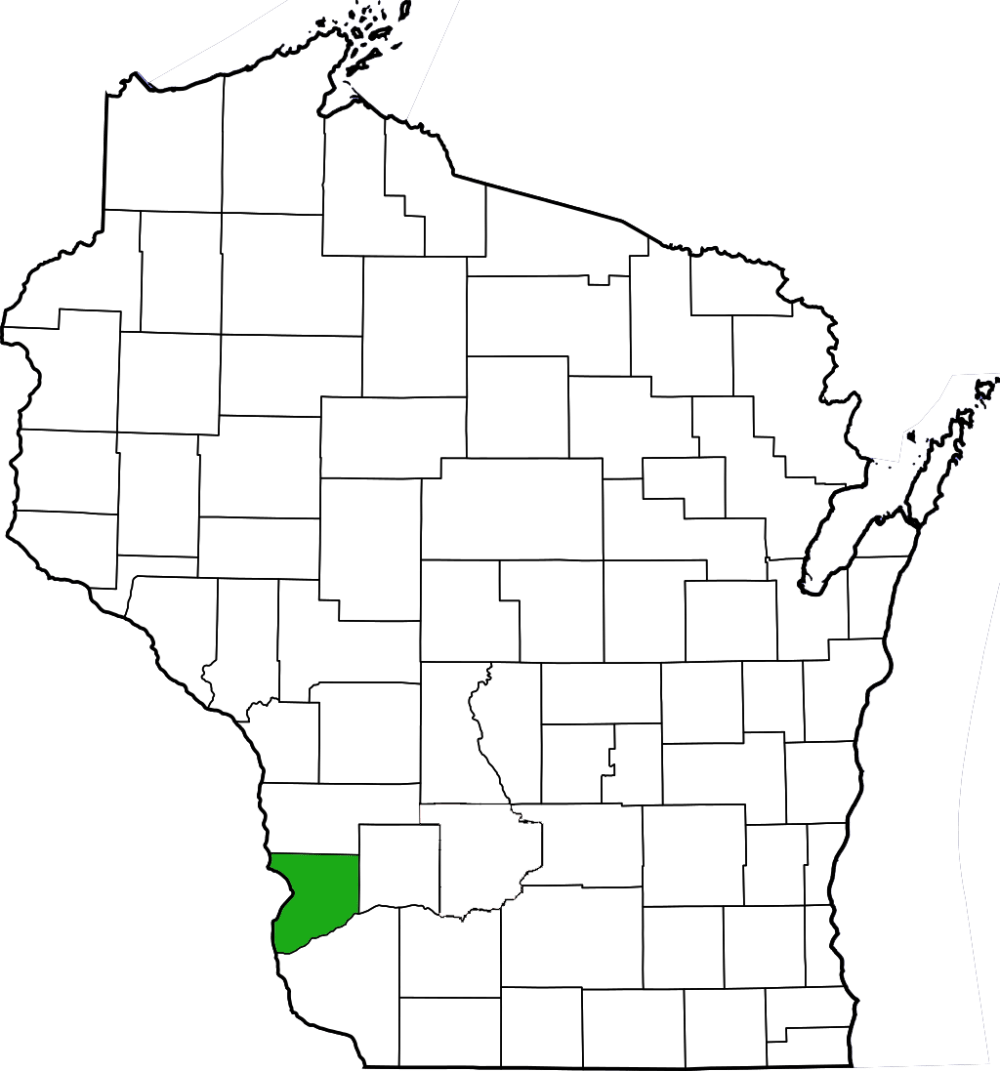
| County | Crawford |
| Natural Communities / Geology | Dry Prairie, Southern Dry Forest, Creek |
| Size (Acres) | 2848 |
| Parking | Roadside |
| Trails | No |
| Easy to Find | Yes |
| Best Seen By | Foot |
| Marked Boundaries | No |
| Ownership | Wisconsin DNR |
| Located Within |
n/a |
| Dates Visited | 6.25.11 |
|
|
|---|