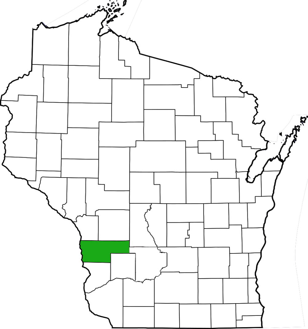
Battle Bluff Prairie features a dry prairie on a steep slope and a bluff-topping southern dry forest overlooking the Mississippi River. The natural area is located along STH 35 north of De Soto. Park along Battle Hollow Road and get ready for a steep climb. After working your way through a band of shrubbery and small trees, the bluff begins in earnest.
Of all of the bluff prairies that I have had the opportunity to explore thus far, Battle Bluff is by far the steepest. It definitely requires getting on your hands and knees along the way. The cover photo to the left is not an illusion; that is truly the degree of slope you will encounter here. The prairie was a bit past peak here with prairie coreopsis, harebell, lyrate rock-cress, and common spiderwort being the most abundant flowering species observed. A number of sandstone outcrops punctuate the prairie constant topographical gradient as it rises nearly 500 feet from the road below. The views from the slope of the Mississippi River valley are simply stunning and are worth the hike in and of themselves. I would love to return to this site to take in those views and catch the prairie in the midst of a different flowering season.


More of my photos (and full-res) from Battle Bluff Prairie can be viewed here.
Additional Information
| SNA # | 177 |
| County | Vernon |
| Natural Communities / Geology | Dry Prairie, Southern Dry Forest |
| Size (Acres) | 338 |
| Parking | Roadside |
| Trails | No |
| Easy to Find | Yes |
| Best Seen By | Foot |
| Marked Boundaries | No |
| Ownership | Wisconsin DNR |
| Located Within |
n/a |
| Dates Visited | 6.25.11 |
|
|
|---|