
Wyalusing Hardwood Forest features a mixture of southern forest types (wet-mesic, mesic, dry-mesic, and dry) near the confluence of the Wisconsin and Mississippi Rivers in Wyalusing State Park. The closest parking area is a pull-off from the main park road near the Paul Lawrence Interpretive Center with room for 3-4 cars. From there, take the Sand Cave Trail and Little Sand Cave Loop to approach within 1/4 mile of the natural area. Then begin walking east off-trail to reach the western edge. A GPS is recommended so that you know when you have reached as well as for assisting you in your return trek.
If memory serves me correctly, this was the first trip with a GPS in hand. That helped me figure out where the boundary was based on the topographic map. I hadn’t yet figured out how to put boundaries on the GPS unit and as it turns out, wouldn’t do so for 3 more years. That said, we followed the trail as far east as we coulld before heading up and down several slopes before reaching the hardwood forest. Exploration here was made fun by the abundance of wood nettles (!). Virginia waterleaf was also quite abundant. Rock outcrops dotted the slope. After looping through a good section of the forest, we made our way back to the trail, for more destinations awaited on this day. This site would be a worthy one to revisit, perhaps at a different season, ephemerals, bird migration, fall colors, to name a few suggestions.
More of my photos (and full-res) from Wyalusing Hardwood Forest can be viewed here.
Additional Information
| SNA # | 5 |
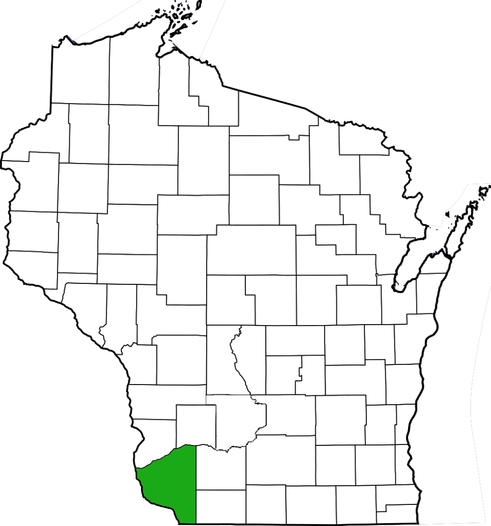
| County | Grant |
| Natural Communities / Geology | Southern Wet-Mesic Forest, Southern Mesic Forest, Southern Dry-Mesic Forest, Southern Dry Forest, Cliff |
| Size (Acres) | 135 |
| Parking | Parking Area (paved) |
| Trails | Yes (to reach site; not within) |
| Easy to Find | No |
| Best Seen By | Foot |
| Marked Boundaries | No |
| Ownership | Wisconsin DNR |
| Located Within | |
| Dates Visited | 5.28.11 |
|
|
|---|


One Comment Add yours