Bayshore Blufflands contains a mixture of forest communities on the steep slope of the Niagara Escarpment. Access is available from above or below with parking areas off of CTH I and B, respectively.
We parked below the bluff and walked the faded trail through the old field to the base of the bluff, across a stream, and then wound our way up the bluff. Along the way were various wildflowers including wild columbine, yellow lady’s-slipper, pale vetchling, Carolina vetch, pussytoes, and various violets. Atop the bluff is a degraded old agricultural field that may or may not be in the process of being restored to prairie. The land both below and above the bluff would seem to be decent areas to restore. The slope was steep but manageable. I don’t recall being overly taxed by it, but then again I am stopping all the time to take photographs. The trail does not appear to pass through the talus slope portion, either that or the talus slope in this portion is much more sparse than I am used to (read: Devil’s Lake). Upon reaching the top and seeing the unspectacular field at the top, we made our way back down and hopped in the car for our journey home. So concluded Door County I, as it is known in my photography database. My brother and I covered most of the publicly accessible SNA’s on mainland Door County during this trip with definite plans to return.


More of my photos (and full-res) from Bayshore Blufflands can be viewed here.
Additional Information
| SNA # | 377 |
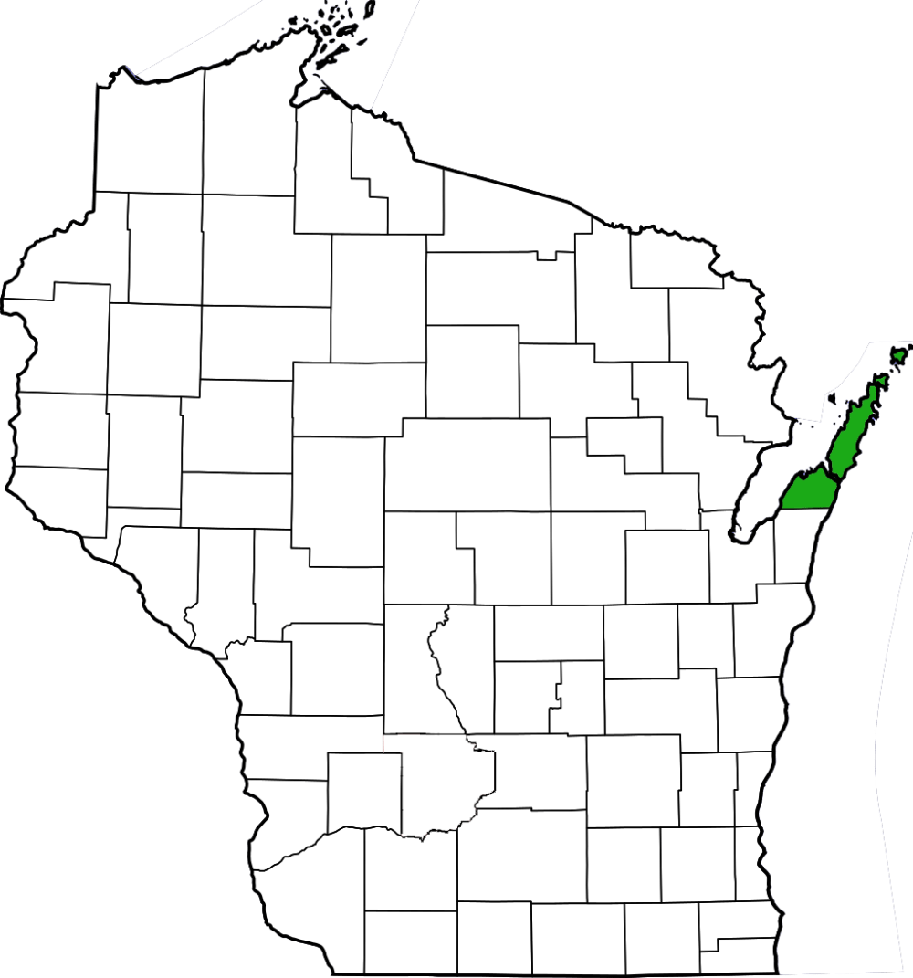
| County | Door |
| Natural Communities / Geology | Bluff, Cliff, Northern Dry-Mesic Forest, Northern Mesic Forest, Northern Wet-Mesic Forest, Talus Slope |
| Size (Acres) | 152 |
| Parking | Parking Lot (gravel) |
| Trails | Yes |
| Easy to Find | Yes |
| Best Seen By | Foot |
| Marked Boundaries | No |
| Ownership | Door County Land Trust (PDF); More info: Wisconsin DNR |
| Located Within | n/a |
| Dates Visited | 5.23.10 |
|
|
|---|