
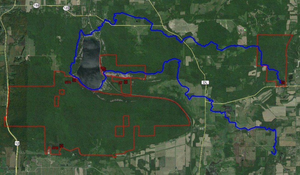
South Bluff/Devil’s Nose is located on a large expanse of the Baraboo Hills and comprises the bulk of the southern portion of Devil’s Lake State Park. There are a couple of areas to park: either the main south shore parking areas or a gravel cul-de-sac at the end of Burma Road in the southwest corner of the park (though note that Burma Road does is not drivable as far as Google Maps would suggest. There are barriers about halfway down at which point you can walk further in if you desire.)
My first visit here was with my brother and after not finding any trails along the park road we simply starting scrambling up the rocks which got a bit steep at some points. This day was rather overcast and precluded much photography in the woods. I was impressed by the array of colors in the fungi that we saw that day. My second visit was searching for a rare plant and involved coming in from the southwest corner. The search was unsuccessful, but I did get to see another side of this massive site. I’m planning a visit here in the next few weeks to check it out in winter, and additional visits in the spring and early summer to get a better sense of this large and diverse property.


More of my photos (and full-res) from South Bluff/Devil’s Nose can be viewed here.
Additional Information
| SNA # | 97 |
| County | Sauk |
| Natural Communities / Geology |
Southern Dry-Mesic Forest, Southern Mesic Forest, Gorge, Dry Prairie, Cedar Glade |
| Size (Acres) | 3,517 |
| Parking | Parking area (paved or gravel) |
| Trails | No |
| Easy to Find | Yes |
| Best Seen By | Foot |
| Marked Boundaries | No |
| Ownership | Wisconsin DNR |
| Located Within | Devil’s Lake State Park (state park sticker required) |
| Dates Visited | 8.22.09 / 6.28.14 |
|
|
|---|


