
Blackhawk Island State Natural Area protects an island in the Wisconsin River that is wooded with a variety of tree species and a plethora of ferns. Owned by the University of Wisconsin Board of Regents and managed by the UW Division of Extension, the site is operated as an outdoor learning center and self-described “river classroom”. Site access is limited to “scientific or educational groups only” per the DNR, but I had no issues obtaining permission to visit when I explained my interest. Please note that this permission is required prior to visiting the site.
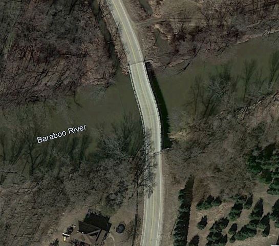
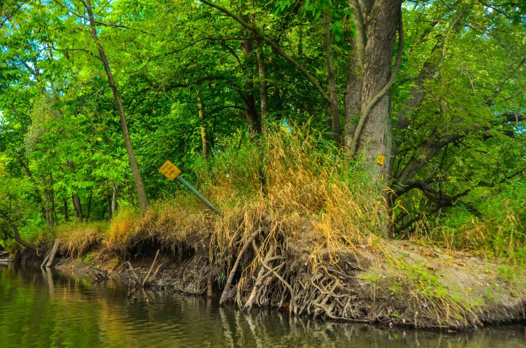
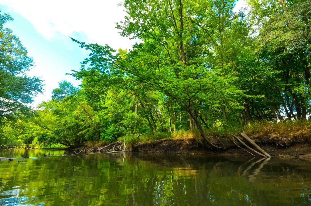
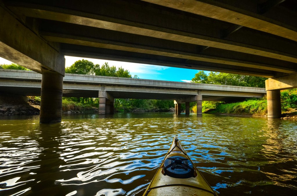
As I had rented a kayak for the day, I planned to make the most use of it. Having visited Blackhawk Island earlier in the day, I next pointed my bow towards Baraboo River Floodplain Forest (metaphorically, of course, as some driving was required between the two sites). I accessed the Baraboo River from the side of the road at CTH U where it crosses the river. I don’t recall specifically which corner of the bridge I put in, but if I had to guess, I would say the southeast corner. The current was fairly strong on this day and particularly interesting around the pylons of the CTH U bridge. The DNR website makes mention of parking at a USFWS parking area on Cascade Mountain Rd, but I had not identified where that parking area was at the time.
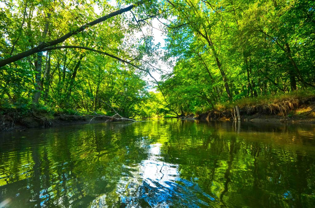
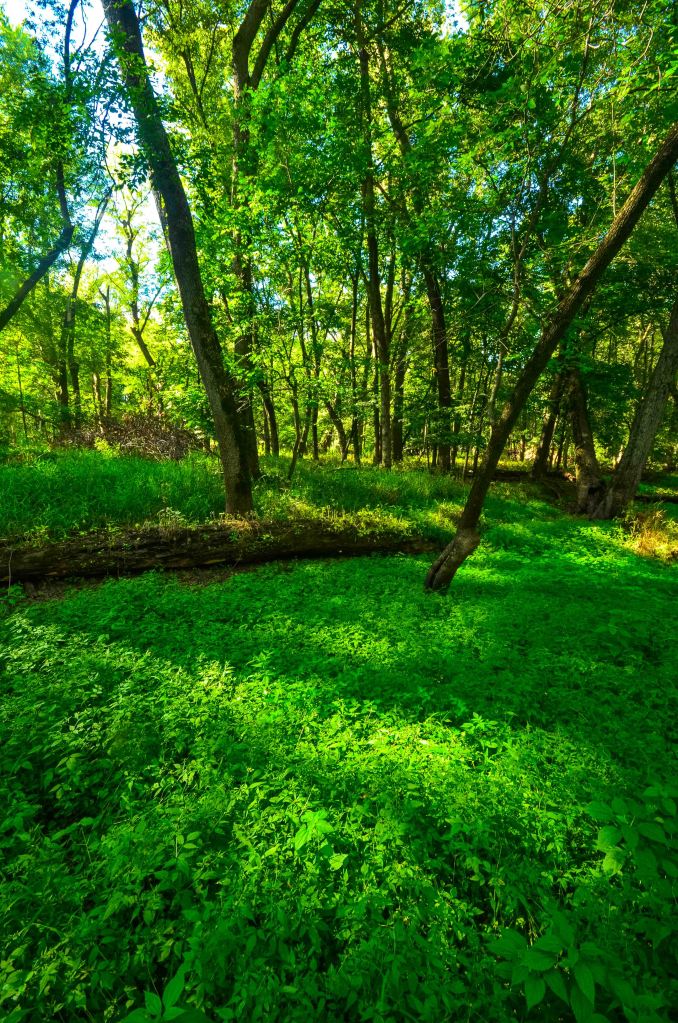
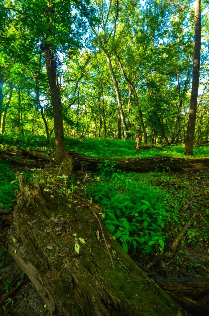
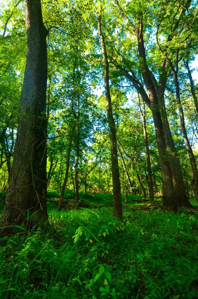
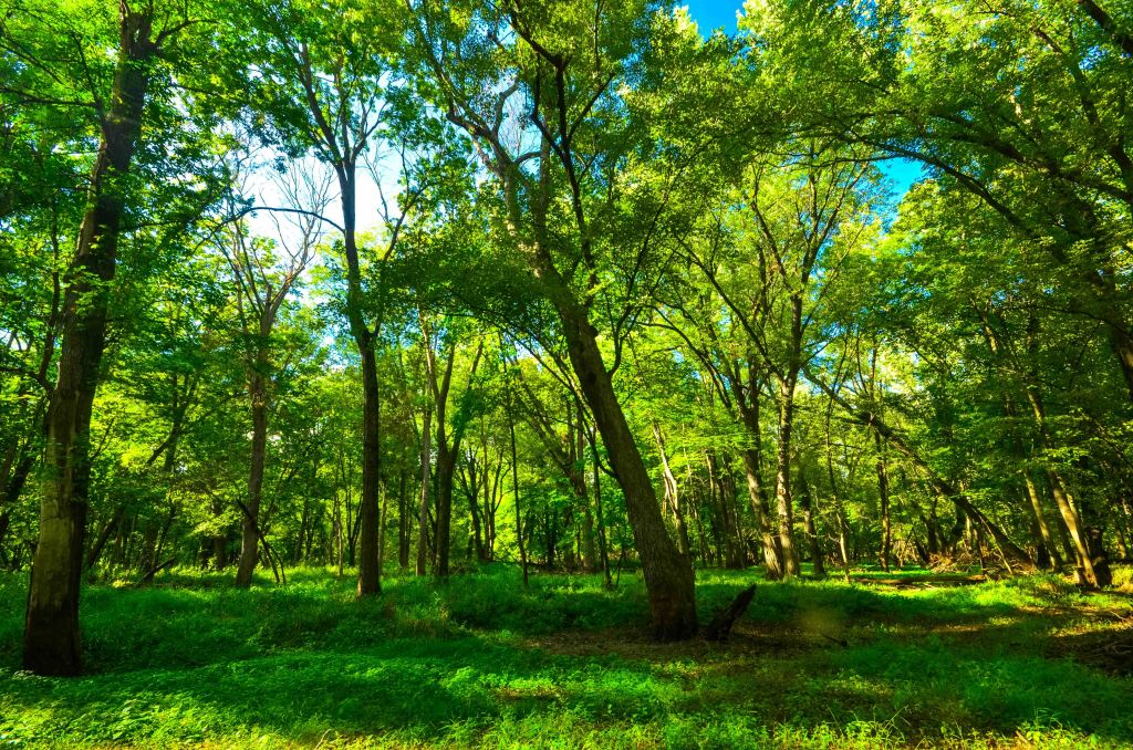
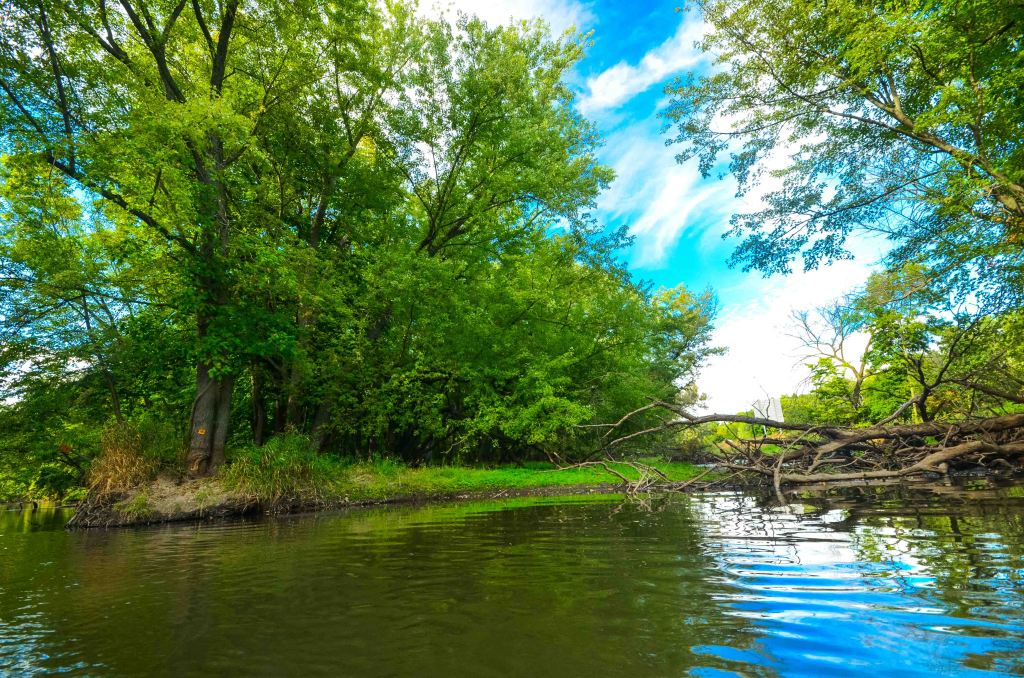
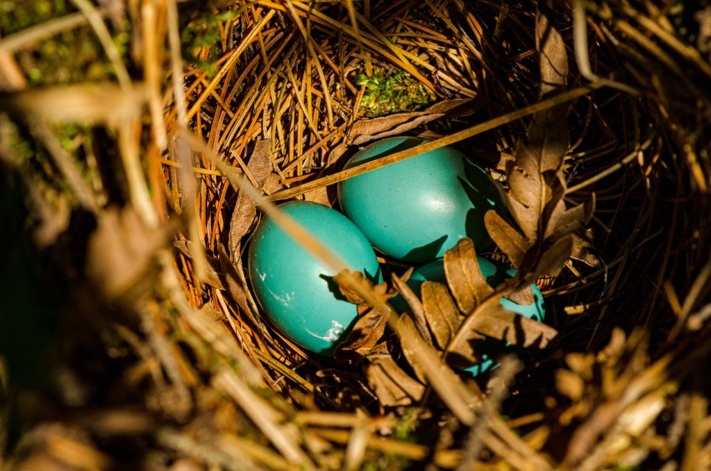
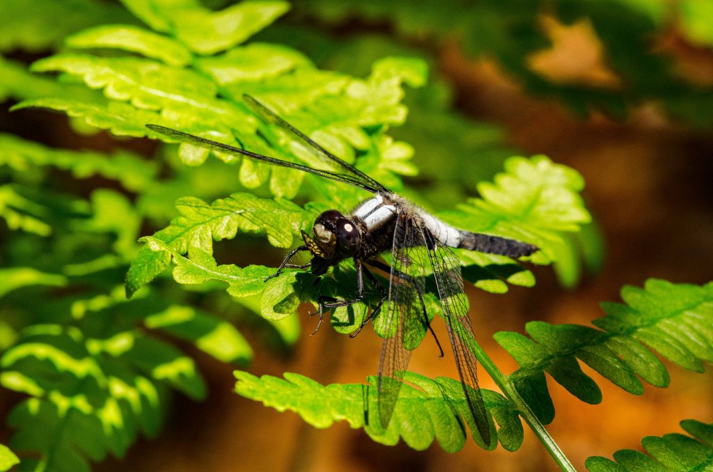
After paddling approximately 0.5 mile (and under I90/94), I had made it to the south edge of the SNA. I paddled a bit further before finding a level place to land the kayak and getting out to explore the forest. As with most floodplain forests just after high-water season, there isn’t necessarily much happening botanically amidst the almost post-apocalyptic landscape. I looked on in awe at the power of water and the marks it leaves upon the landscape. Amidst the swales and pockets of jewelweed plants, I wondered if this might be an interesting place to explore in May, when there might be more plant life to observe or in fall when the leaves start to turn. In either case, the return voyage was a speeder one with the current and the kayak was hoisted back on top of the car for its return journey to REI. I would estimate this SNA a 6/10 on my revisit scale.

Additional photos can be found on Flickr.
| SNA # | 212 |
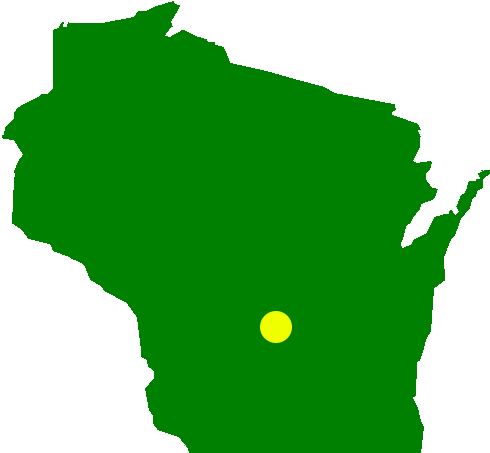
| County | Columbia |
| Natural Communities / Geology | Southern Hardwood Swamp, Floodplain Forest |
| Size (Acres) | 23 |
| Parking | Roadside |
| Trails | No |
| Easy to Find | Yes |
| Best Seen By | Kayak |
| Recommended Footwear | Rubber boots |
| Marked Boundaries | No |
| Ownership | US Fish & Wildlife Service (More Info) |
| Located Within | n/a |
| Date(s) Visited | 9.14.13 |


One Comment Add yours