
*experimenting with post format; bear with me*
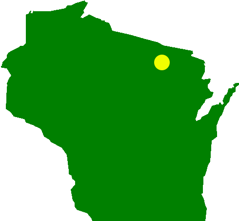
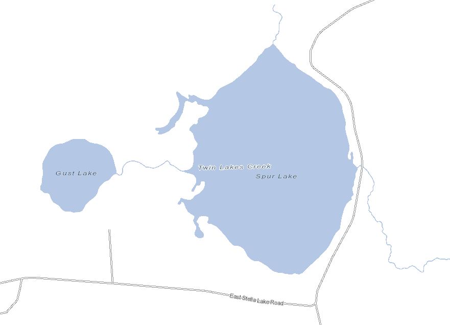
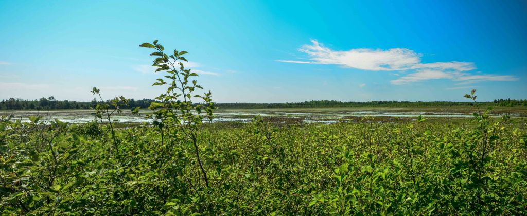
Spur Lake State Natural Area contains the eponymous lake as well as surrounding wetlands, including open bog, alder thicket, and a mixed swamp containing black spruce, white cedar, and tamarack. Located southeast of Three Lakes, the site can be easily accessed from Stella Lake Rd, west of USH 45. There is a small, unofficial parking area off of Stella Lake Rd, near the southeast corner of the lake.
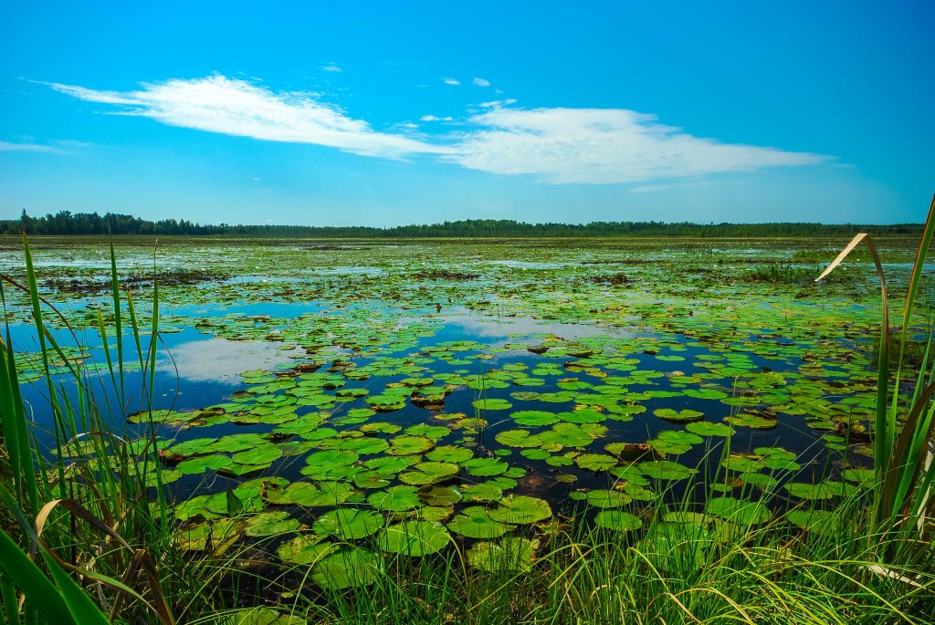
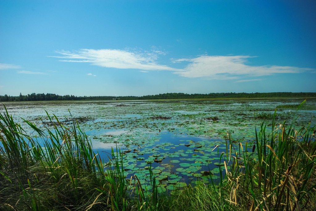
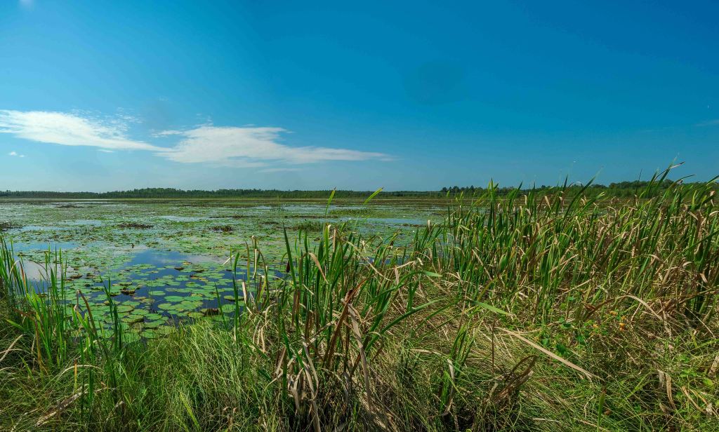
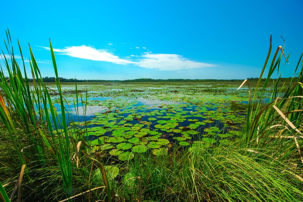
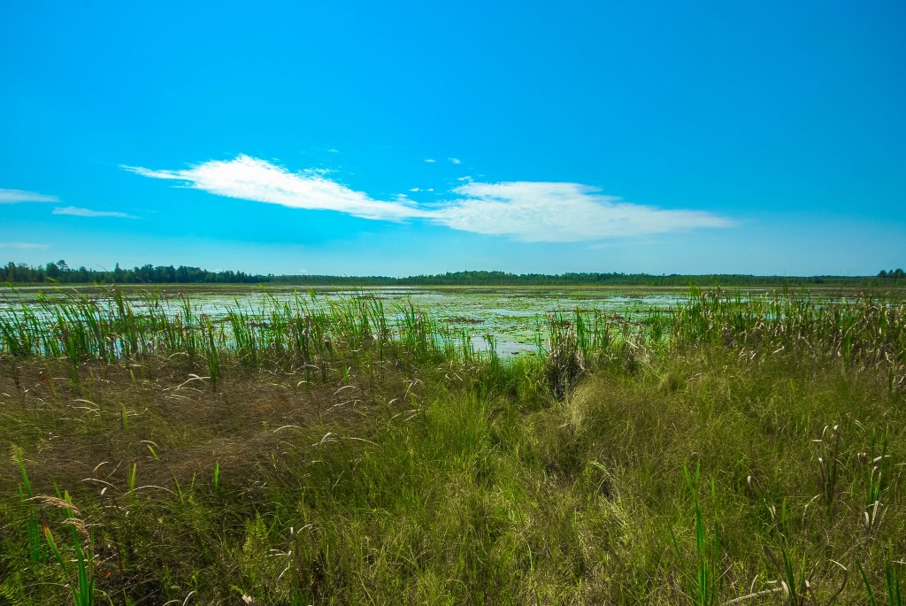
Spur Lake is similar to the subject of the previous post (Rice Lake) in terms of size and general characteristics. It is 113 acres (versus 122), is a soft-water lake with a maximum depth of 3 feet, and is a muck-bottomed drainage lake, meaning that it has at least one inlet and one outlet. With a muck bottom, I would not suggest attempting to walk around in the lake with waders or the like, even though it is only 3 feet deep. Similar to Rice Lake, Spur Lake supports a significant wild rice population. Twin Lakes Creek is the outlet stream, carrying water from the east side of the lake south and east to the Pelican River, which in turn, feeds into the Wisconsin River (more fascinating lake information at the DNR’s website here). Twin Lakes Creek also appears to be an inlet, providing water from Gust Lake to the west. A small stream inputs water from the wetlands to the north as well.
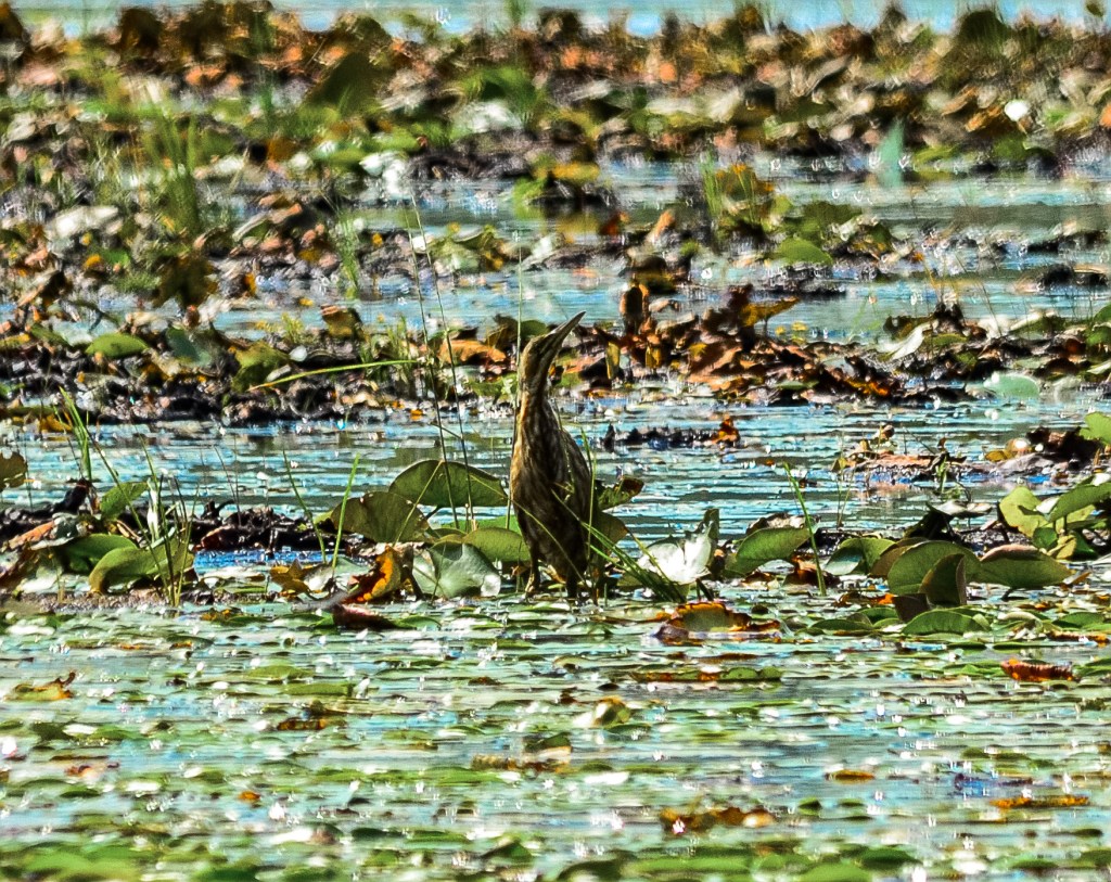
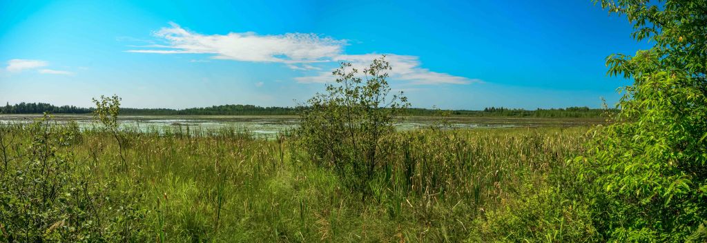
Most of my exploration on this day was on the east side of the lake, where the bog mat is quite flexible, which one prefers not to see when exploring, typically. Much of my attention became focused on what, for me at that time, was a most unusual bird. An American Bittern (Botaurus lentiginosus) was skulking through the center of the lake amidst the voluminous water lilies, seemingly not a care in the world. Interestingly, the lake is described as mesotrophic, meaning that it contains a moderate about of plants in the water. On my visit, there seemed to scarcely been a foot of open water, as plants stretched form shore to shore.
Similar to Rice Lake, blooming species variety was fairly low to my novice eye, which I attribute somewhat to the August timeframe of this visit. I wouldn’t mind a chance revisit this SNA for a few reasons. First, I would like to explore a bit further the fen and upland areas at a more botanically interesting time of year and explore some additional non-lake areas, including the large wetlands to the south and the smaller bog to the north. In theory, this lake wold be paddle-able, if one were to drag a kayak in from the road, but I would do so before the vegetation thickens and your passage is slowed by the green leaves of the lilies.
On my personal revisit scale, I would place this one at a 3 of 5. I need to revisit this SNA for both completeness and for botanical reasons.

Additional photos can be found on Flickr.
| SNA # | 537 |
| County | Oneida |
| Natural Communities / Geology | Lake, Bog, Creek, Swamp, Alder Thicket |
| Size (Acres) | 426 |
| Parking | Parking Area (unofficial) |
| Trails | No |
| Easy to Find | Yes |
| Best Seen By | Foot |
| Recommended Footwear | Knee boots |
| Marked Boundaries | No |
| Ownership | Wisconsin DNR |
| Located Within | n/a |
| Date(s) Visited | 8.31.13 |


One Comment Add yours