Eagle Eye, so named for a slit in the rocky ridge, features a mosaic of natural communities including dry prairie remnants, oak woodland, oak savnna, and a trout stream, all occurring on a narrow, curving ridge that rises 250 feet above the surrounding landscape in eastern Vernon county, northwest of Viroqua. The site is located on the north side of Upper Newton Road and requires crossing the North Fork of the Bad Axe River to reach the natural area proper. The river is generally low enough that crossing on foot is possible near areas of riffles, with less than knee-deep water. But excercise caution when attempting this! Supposedly, there is parking or a parking area at the southeast corner of the site, though I did not park there and cannot vouch for its existence or suitability.
I visited Eagle Eye as part of a field trip with the Mississippi Valley Conservancy. That day, despite being cold and blustery (more March-like than May-like), we were fortunate to be led across the river on a trailor attached to a large tractor, a short hay-ride, if you will. From there, it was a walk through the spring ephemerals on the forested slope before reaching the narrow, rocky ridgetop. Here rockshelters and outcrops abound and provide beautiful views of the valley below. Were this a more typical climate year, there may have been more greenery to view, but the combination of a late spring and recent prescribed burns on portions of the site resulted in less than ideal photographic subjects. This leaves me with a great interest in returning to the site in the future


More of my photos (and full-res) from Eagle Eye can be viewed here.
400 more blog posts to go! Well, actually a few more than that remain; counting SNA’s delisted since I started and a few SNA’s to be designated, the current total is 687, though hopefully, that will increase!
If you would like to help support this project, please consider a donation. There are many SNA’s yet to visit and even more to revisit and I ultimately plan to put this together in the form of a book. Thank you!

Additional Information
| SNA # | 675 |
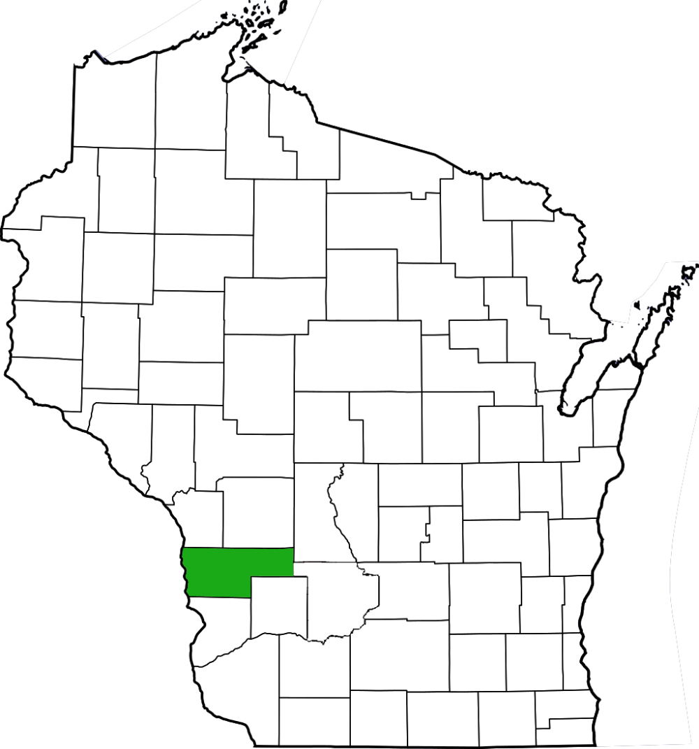
| County | Vernon |
| Natural Communities / Geology | Dry Prairie, Cliff, Oak Woodland, Oak Savanna, Rockshelter, Trout Stream, River |
| Size (Acres) | 70 |
| Parking | Roadside |
| Trails | No |
| Easy to Find | No |
| Best Seen By | Foot |
| Marked Boundaries | No |
| Ownership | Mississippi Valley Conservancy; Wisconsin DNR |
| Located Within |
n/a |
| Dates Visited | 5.11.13 |
|
|
|---|