Upper Fox Headwaters is comprised of a wide array of natural communities in 5 parcels of land divided amongst 3 units spanning 9 miles, 2 counties, and a total of 195 acres. The Upper Chaffee Creek Meadow unit (formerly known as the Chaffee Creek unit) is accessible from a wayside off of southbound I-39/USH 51 at exit 81. From the west end of the parking area, the Ice Age Trail winds across an old field to and over the creek via a footbridge and then east beneath the Interstate. A narrow strip of land heading north from Dakota Avenue also provides access to the east side of this parcel. Approximately 4 miles southeast of this parcel, the Caves Creek unit can be reached by parking on the roadside on 4th or Dover Avenues leading to the southwest and northern edges of the unit, respectively. Lastly, the Zinke Lake unit is best accessed by parking on the side of Cumberland Road, about 1/2 mile west of CTH II. Walk south through an old field that is part of the Mecan River Fishery Area to the northern edge of the SNA.
My first foray to the Upper Fox Headwaters was to the central unit, Upper Chaffee Creek Meadow. Note that if you are approaching this unit from the south, you will have to proceed several miles north past the wayside as their is no northbound exit here. Exit the Interstate at the next opportunity, get back on heading south, and then exit at the wayside. Alternatively, you can reach the site via Dakota Avenue as mentioned above or by hiking in from either the east or west via the Ice Age Trail. On this May Day, little was to be seen in the form of greenery, with the brown meadow stretching as far as the eye could see; its tonality broken only by the deep blue ribbon that was Chaffee Creek and the occasional yellow puncta of marsh marigold.
It would be over 2 years before I was able to visit the other two units, Caves Creek and Zinke Lake. At Caves Creek, a short walk through the forest leads to a sedge meadow replete with the dizzying flights of odonates on this day. The spring pond provide ample photographic opportunities despite the looming gray monotones of the clouds above. Here and there a blue flag, or Virginia iris, dotted the landscape. Continuing on to Zinke Lake, one must first cross an old field dominated by invasive species, particulary orange hawkweed. A narrow band of forest the separates you from the creek which in turn leads to the lake. On the north shore of the lake, marsh marigold and angelia dominated, but I was fortunate to see several huron green (or tall northern bog) orchids growing in the wet habitat. This area was not the easiest to explore, even with rubber boots, as the high water requires hip waders to more freely move about the area. That said, I thoroughly enjoyed this unit as well as the Upper Chaffee Creek Meadow and Caves Creek units and woud like to return to each again in the future.


More of my photos (and full-res) from Upper Fox Headwaters can be viewed here.
Additional Information
| SNA # | 265 |
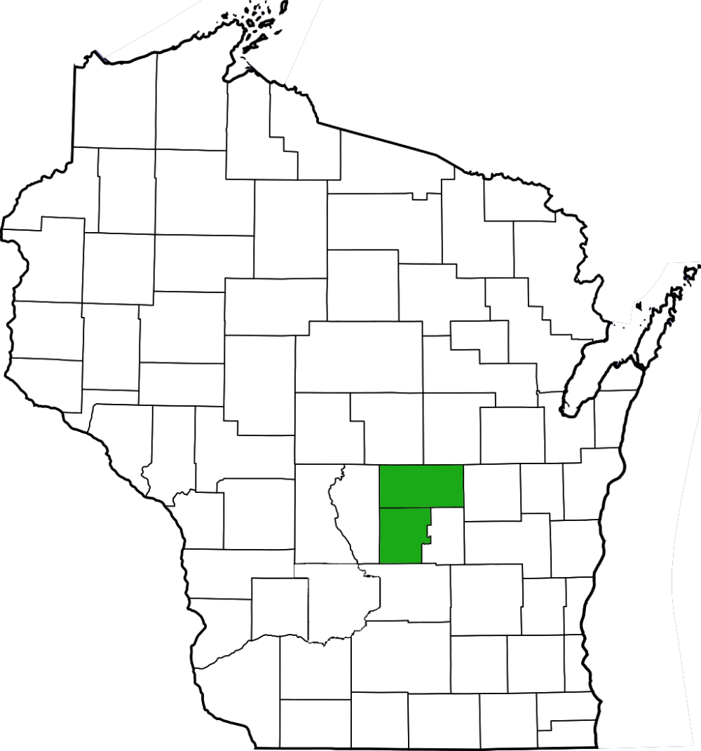
| County | Marquette, Waushara |
| Natural Communities / Geology | Lake, Creek, Meadow, Fen, Wet-Mesic Prairie, Pond, Sedge Meadow, Spring, Tamarack Swamp, Oak Barrens |
| Size (Acres) | 195 |
| Parking | Parking Area, Roadside |
| Trails | Yes/No |
| Easy to Find | Yes |
| Best Seen By | Foot |
| Marked Boundaries | No |
| Ownership | Wisconsin DNR |
| Located Within | Mecan River Fishery Area |
| Dates Visited | 5.1.12 / 6.22.14 (x2) |
|
|
|---|