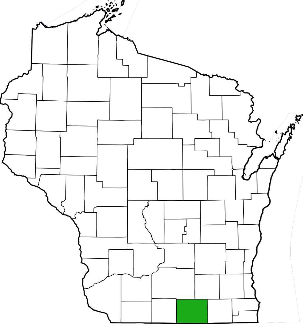
Magnolia Bluff includes southern dry-mesic forest and a small dry prairie on a rocky ridge overlooking eastern Rock County. Found within the eponymous county park, Magnolia Bluff can be reached on Croak Road, south of STH 59. Lower and upper parking areas provide access to the site. Trails lead from the parking areas and loop through the site.
My visit to Magnolia Bluff kicked off the 2012 season of SNA exploration. I visited the site as part of a field trip and focused mainly on the area around the upper parking area. Nice views abound from the edge of the bluff, where a small dry prairie sits below the rocky edge. Surround this, a southern dry-mesic forest while scattered boulders dot the landscape beneath the trees. Species observed here include wild columbine, eastern shooting star, mayapple, prairie violet, bird’s-foot violet, and the Wisconsin threatened species, kitten’s tails. Considering some of the, shall we say “interesting” terrain that I have navigated through in the course of my adventures, the dedicated parking areas and maintained trails were a tad bit easier. Kudos to Rock County for working with the DNR to preserve this gem, as well as Carver-Roehl Woods (come back in approximately 2 months for that blog post, which describes my 300th SNA visit). Magnolia Bluff is most assuredly on my list of places to visit again likely in late May and then again in the autumn.


More of my photos (and full-res) from Magnolia Bluff can be viewed here.
Additional Information
| SNA # | 648 |
| County | Rock |
| Natural Communities / Geology | Cliff, Southern Dry-Mesic Forest, Dry Prairie |
| Size (Acres) | 54 |
| Parking | Parking Area |
| Trails | Yes |
| Easy to Find | Yes |
| Best Seen By | Foot |
| Marked Boundaries | No |
| Ownership | Rock County; More info: Wisconsin DNR |
| Located Within | |
| Dates Visited | 4.22.12 |
|
|
|---|