
Trempealeau Mountain is a 425-foot tall forested rock in the Mississippi River, just offshore from Perrot State Park. The formal method of reaching the site, one of only three islands composed of solid rock along the Mississippi River, is to kayak or canoe from the state park boat launch. Canoes and kayaks are available for rent from the park office and that was the method of choice on my visit. In doing additional research for this post, I found that it is also possible to reach the mountain from the Trempealeau National Wildlife Refuge by travelling 2 1/3 mile along a foot/bicycle trail and then a dike. The refuge entrance is located off of West Prairie Road, just up the road from the state park entrance.
My brother and I decided to take the full 3.4 miles canoe trail that the park describes which involves paddling north against a rather stiff current, rounding the bend, and then swiftly making the way south toward the mountain, of course now with the aid of the Trempealeau River. A shorter, roughly 2/3 mile each-way trip is possible by staring out heading south from the boat landing, and then heading northwest toward the mountain. Beach your vessel at the base of the mountain and start the trek up. This is a great site to visit for a workout; first, you work the arms with paddling and then hammer on the legs as you scurry up the mountain. We focused mostly on the north side as that was the direction of our approach. It was moderately difficult to make it to the top and involved a lot of bracing oneself while moving one limb, hanging onto tree trunks, and feet slipping in the unstable soil. In some areas, rock cliffs forced slight detours. The views were spectacular from the mountaintop with blue skies, scattered clouds, and the always adventurous dips and dives of countless swallows.
All in all, a great site and an adventure to reach. I would like to return and explore the northern side a bit more and perhaps I will approach via the wildlife refuge. I highly recommend a visit to Perrot State Park, my personal favorite in the state park system and while you are there, be sure to visit Brady’s Bluff SNA for more outstanding views from a beautiful bluff prairie.


More of my photos (and full-res) from Trempealeau Mountain can be viewed here.
Additional Information
| SNA # | 356 |
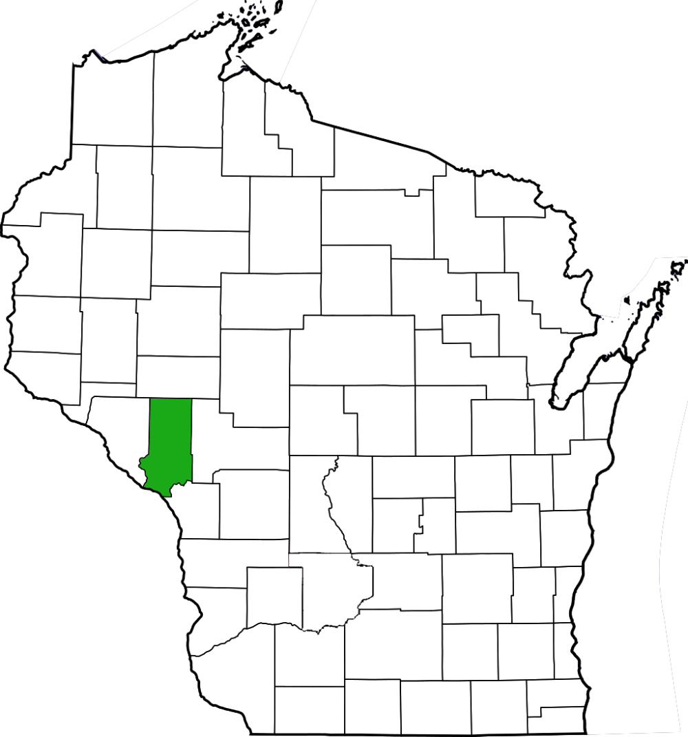
| County | La Crosse |
| Natural Communities / Geology | Southern Mesic Forest, Dry Prairie, Mountain, Native American Mounds & Burial Sites |
| Size (Acres) | 61 |
| Parking | Boat Launch, |
| Trails | No |
| Easy to Find | Yes |
| Best Seen By | Foot, Kayak/Canoe |
| Marked Boundaries | No |
| Ownership | Wisconsin DNR |
| Located Within | Perrot State Park |
| Dates Visited | 7.30.11 |
|
|
<iframe src=”https://www.google.com/maps/d/embed?mid=1gMrbTD0Hh1u1_DUomKyYTab8T5Q” width=”400″ height=”300″> |
|---|


The alternate path you speak of accessing Trempealeau Mountain is posted as closed and multiple signs state “Area Beyond This Sign Closed-All Public Entry Closed ” about 1/4 mile before you get there. Absolutely gorgous-breathtaking views of the river and wildlife on both the trails and multiple dikes in the adjacent Trempealeau National Wildlife Refuge.
LikeLike
Interestingly, the NWR says the trail is closed “at the base of the mountain” while it appears to be closed prior to that point, as you noted. The NWR also says that the trail ends there because the mountain is closed to the public, which it is not. The mountain is state land and is open.
LikeLike