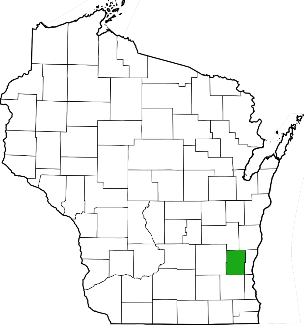
Milwaukee River Floodplain Forest features floodplain and dry-mesic forests along a stretch of the East Branch of the Milwaukee River in Washington County. Parking is along the roadside on Oak Drive, just north of CTH H, where the gravel shoulder widens a bit near the Ice Age Trail.
My first visit here was in too-early spring and in addition to there being little to see aside from sharp-lobed hepatica, I did hear some not-far-enough-away gunshots, which hastened my departure. I returned last year just a few days later in the calendar, but significantly further along in terms of phenology. In the uplands leading to the river, large-flowered trillium, Virginia spring-beauty, and swamp buttercups were in full bloom. Approaching the river, the terrain becomes signficantly wetter with water-filled depressions in some areas and formerly wet swales in others. It was not too difficult to navigate, but one had to be a bit careful of where the next step would be at times. Just because the ground looked solid did not mean that it was firm enough. The views of the East Branch of the Milwaukee River were scenic and would have been moreso had the sun cooperated. Alas, it was another overcast day, but it was great to be out nonetheless.


More of my photos (and full-res) from Milwaukee River Floodplain Forest can be viewed here.
Additional Information
| SNA # | 253 |
| County | Washington |
| Natural Communities / Geology | Floodplain Forest, Dry-Mesic Forest, River |
| Size (Acres) | 77 |
| Parking | Roadside |
| Trails | No |
| Easy to Find | Yes |
| Best Seen By | Foot, Kayak |
| Marked Boundaries | No |
| Ownership | Wisconsin DNR |
| Located Within | |
| Dates Visited | 4.30.11 / 5.9.15 |
|
|
|
|---|