Chiwaukee Prairie features a variety of prairie and wetland natural communities bordered by Lake Michigan on the east and Illinois on the west. Through the cooperative efforts of The Nature Conservancy, the Wisconsin DNR, and the Chiwaukee Prairie Preservation Fund, a large portion of this landscape has been preserved. What once was intended as a subdivision and golf course, now contains many beautiful and rare plants and animals and has been designated a Wetland of International Importance by the Ramsar Convention. The site has been acquired piecemeal over many years resulting in an extremely complex border. Patches of prairie and wetland are interrupted by private lands and houses and crossed by numerous city streets. Be sure of where you are hiking and that you are in the proper place. The recommended access is via 121st Street. The DNR directs you to proceed north on 2nd Avenue to 119th Street, though Google Maps refers to 2nd Avenue there as Al Kampert Trail and shows no 119th Street. The Chiwaukee Prairie Preservation Fund directs you to head west on 121st street and turn north at the T-intersection and park along the gravel road. This is where my exploration and field trip began.
This is a very large and very diverse site. The field trip I was on focused on the dry-mesic prairie portion on an early October morning. Gentians, including prairie and fringed, were abundant, as were saw-tooth sunflower, prairie thistle, and various asters and goldenrods. There are no formal trails but often you will find previously worn paths to follow. Careful where you step, lest you trample the low-rising gentians. The weather on this day was largely overcast with a rather constant drizzle of rain which precluded much beautiful landscape photography. This is aboslutely a high priority on my revisit list so that I can explore more of this wonderful landscape and to do so in different seasons to get a more complete picture of everything Chiwaukee Prairie has to offer.


More of my photos (and full-res) from Chiwaukee Prairie can be viewed here.
Additional Information
| SNA # | 54 |
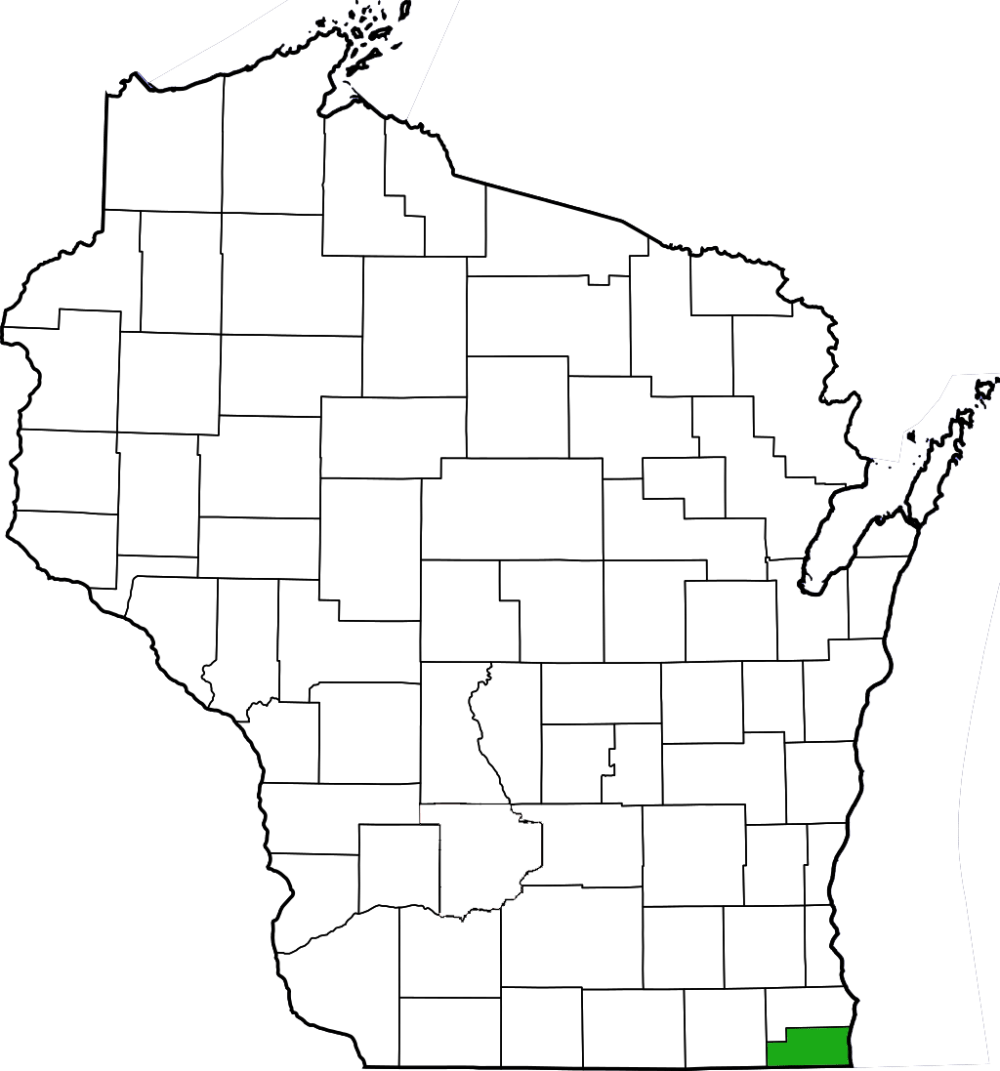
| County | Kenosha |
| Natural Communities / Geology | Southern Sedge Meadow, Wet Prairie, Wet-Mesic Prairie, Dry-Mesic Prairie, Calcareous Fen |
| Size (Acres) | 477 |
| Parking | Parking Areas (gravel), Roadside |
| Trails | No |
| Easy to Find | No |
| Best Seen By | Foot |
| Marked Boundaries | No |
| Ownership | Wisconsin DNR |
| Located Within | n/a |
| Dates Visited | 10.2.10 |
|
|
|---|