Observatory Hill is an rock outcropping rising 300 feet above the surrounding landscape and forming the highest point in Marquette County. A parking area is found on Gillette Avenue and a trail winds from there to the summit. The trail can be uneven in some places with exposed rock and tree roots.
Observatory Hill presents some nice views of the surrounding countryside which was the highlight on my first visit to the site. The fact that this rock outcropping is formed of porphyritic rhyolite, an igneous rock with feldspar crystals, really gives you a sense of the geologic time and scale of the formation of our state’s landscape. One of the things I would like to do at this site is to explore some of the areas away from the overlook a bit more. The forest is being converted to an oak savanna, a natural community more historically appropriate for the area. In addition, the glade plant community can often be an interesting one. I returned here in one chilly January day to see a rare bird that was reported here and was lucky enough to find it, a Townsend’s Solitaire. The views always make me wistful for what once was in an area that John Muir called home.


More of my photos (and full-res) from Observatory Hill can be viewed here.
Additional Information
| SNA # | 223 |
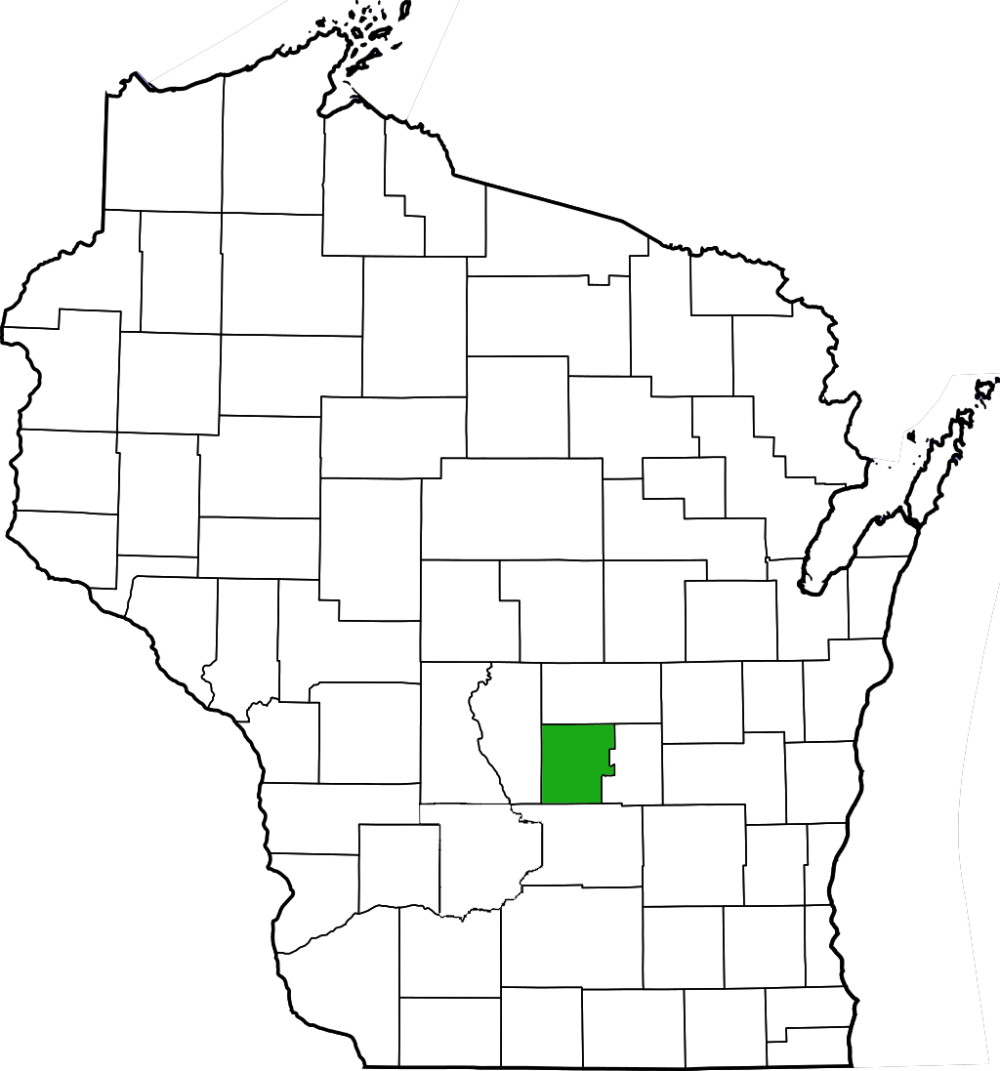
| County | Marquette |
| Natural Communities / Geology | Outcropping, Southern Dry Forest, Oak Savanna, Bedrock Glade |
| Size (Acres) | 208 |
| Parking | Parking Area (gravel) |
| Trails | Yes |
| Easy to Find | Yes |
| Best Seen By | Foot |
| Marked Boundaries | No |
| Ownership | Wisconsin DNR |
| Located Within |
n/a |
| Dates Visited | 6.20.10 / 1.19.15 |
|
|
|---|