Richwood Bottoms contains an excellent floodplain forest along the Wisconsin River. An access lane heads south from STH 60 and dead-ends at a gate near a bridge that the DNR uses to reach the area. From here, walk across the bridge and then southeast approximately 1/2 mile to the northern edge of the site. I would recommend a GPS unit so that you could definitively know when you entered the SNA boundary.
As a general rule, “bottoms” SNA’s can be a bit messy and often are not the easiest sites to reach. Richwood Bottoms is probably on the easier end of that spectrum as it does not require a boat to reach it as is common with other similar sites (though you could arrive that way if so desired). I would recommend rubber boots, particularly in the spring. The sites is rather muddy, so whatever your footwear may be, be prepared. On my May 1 visit, the spring ephemerals were quite abundant. Phlox and buttercups dominated in the comparatively drier areas with violets mixed in while massive areas of buttercups were found in the wetter areas. With the large trees, in particular white oaks, the site is rather dark even in bright sun and has a somewhat eerie feel to it, which I find rather compelling. I would not mind a return visit here at perhaps a slightly different time of year to see what Richwood Bottoms has to offer.


More of my photos (and full-res) from Richwood Bottoms can be viewed here.
Additional Information
| SNA # | 249 |
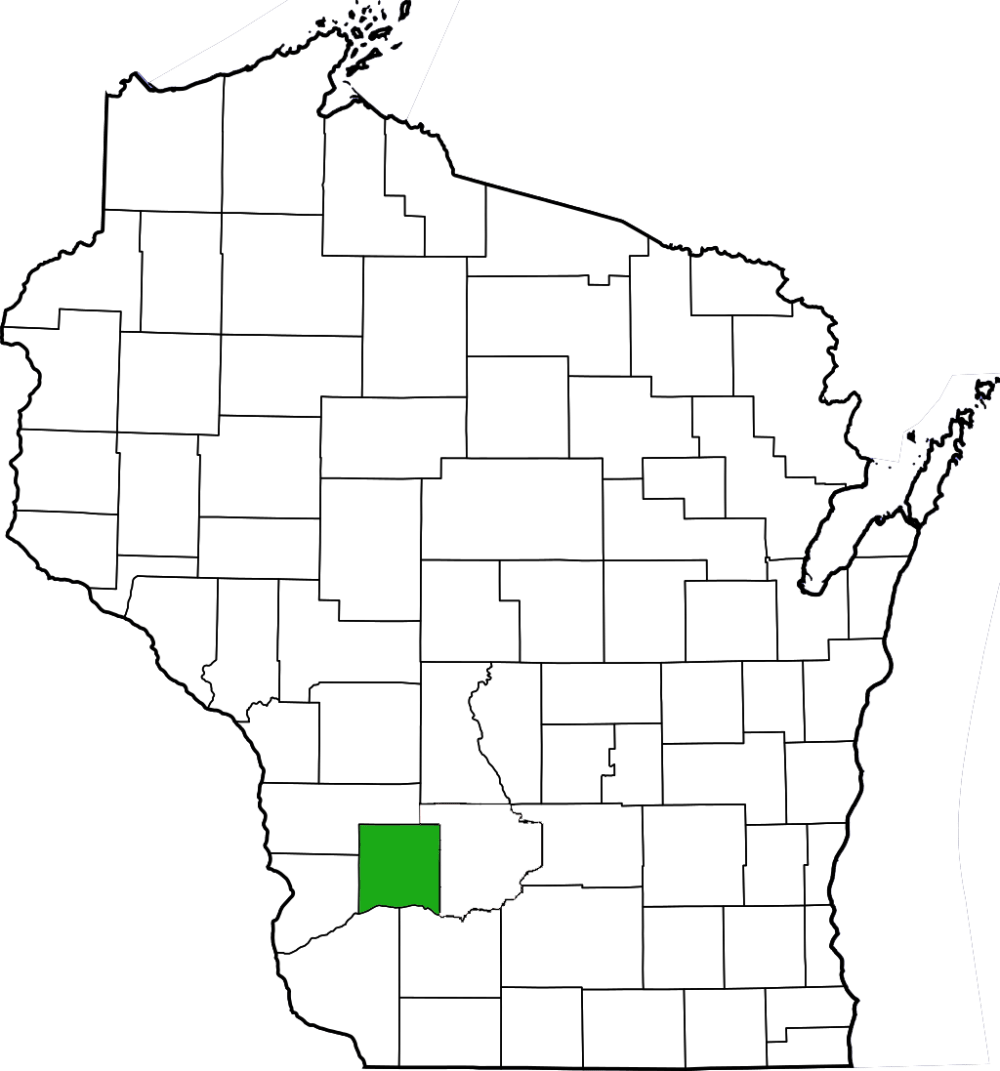
| County | Richland |
| Natural Communities / Geology |
Floodplain Forest, Southern Wet-Mesic Forest, Southern Mesic Forest |
| Size (Acres) | 206 |
| Parking | Parking Area (gravel) |
| Trails | No |
| Easy to Find | No |
| Best Seen By | Foot |
| Marked Boundaries | No |
| Ownership | Wisconsin DNR |
| Located Within | Lower Wisconsin State Riverway |
| Dates Visited | 5.1.10 |
|
|
|---|