Copper Falls features waterfalls (of course!) as well as oxbows and dry and dry-mesic forests along the Bad River in Ashland County. It is found within its namesake state park, with the SNA encompassing much of the land along the river north of its confluence with the Tyler Forks River as well as Copper Falls itself which is south of the confluence. Access is easiest from the northernmost parking lot. From here the park’s Doughboy’s trail parallels the North Country Trail (NCT).
The Doughboy’s trail forms a nice loop with two bridges and several overlooks providing very scenic views of the rivers and waterfalls. Along with my mother and brother, we focused on the southern end of the site with these obvious features. Also, found just outside of the SNA boundaries is a tower which can be climbed for great views of the surrounding landscape. Being late November, there was barely any green on the ground, save for mosses peaking out from the mixed carpet of brown fallen leaves and a thin layer of recent snow. I would imagine that this site would be amazing to view during fall color season and I would like to return at that time and venture a bit further north along the NCT to explore this site more.


More of my photos (and full-res) from Copper Falls can be viewed here.
Additional Information
| SNA # | 399 |
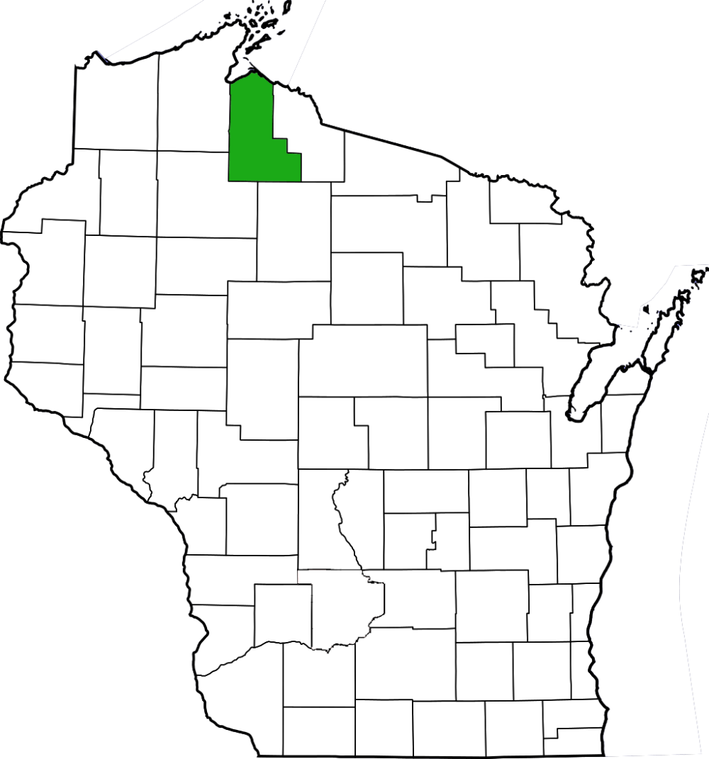
| County | Ashland |
| Natural Communities / Geology |
Dry Forest, Dry-Mesic Forest, River, Waterfall, Oxbow |
| Size (Acres) | 665 |
| Parking | Parking lot (paved) |
| Trails | Yes |
| Easy to Find | Yes |
| Best Seen By | Foot |
| Marked Boundaries | No |
| Ownership | Wisconsin DNR |
| Located Within | Copper Falls State Park (state park sticker required) |
| Dates Visited | 11.28.09 |
|
|---|