Red Cedar Lake has a maximum depth of 6 feet, but 90% of the lake is 3 feet deep or less. Reaching the lake is fairly easy with a boat landing located right off of Hwy 12. The best way to see this site is via canoe/kayak, but at the time of my visit 6 years ago, I did not have one. Now in possession of a kayak, I plan to revisit this site in the future.
During my visit, I parked at the boat landing and perused both the forest and wetland areas around it. At this late September date, little was in bloom, and what was, was of little interest. The site is also known for the variety of birds that use its waters, in particular for nesting. It was not nesting season at the time of my visit, but I did see my first-ever great egrets as well as several Canada geese. Though wetlands surround the perimeter of the lake, the bulk of this is non-SNA, non-DNR-owned land, with the exception being the area around the boat landing and the eastern shore of the lake. From there, I drove east on Hwy 12 and south on County Hwy A to a narrow access lane heading west toward the lake. This leads to a degraded praire/oak savanna area with a narrow wetland band along the lake. I look forward to getting out on the lake itself and exploring this area further.


More of my photos (and full-res) from Red Cedar Lake can be viewed here.
Additional Information
| SNA # | 215 |
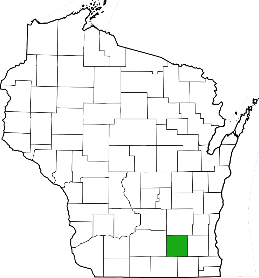
| County | Jefferson |
| Natural Communities / Geology |
Lake, Wetland, Marsh |
| Size (Acres) | 452 |
| Parking | Boat landing (paved) |
| Trails | No |
| Easy to Find | Yes |
| Best Seen By | Foot/Boat |
| Marked Boundaries | No |
| Ownership | Wisconsin DNR |
| Located Within | na |
| Dates Visited | 9.26.09 |
|
|
|---|