Tower Hill Bottoms is located, appropriately enough, within Tower Hill Sate Park, one of Wisconsin’s lesser known state parks. The park is so named due to its mid-1800’s usage as a lead shot production facility. The trail to reach the top of the hill is quite steep. At the base of the hill, is a cave where the lead shot was collected. This area is also a part of the Lower Wisconsin State Riverway, an area protecting nearly 80,000 acres along a 92.3 mile stretch of the unimpeded Wisconsin River from the final dam at Prairie du Sac to its confluence with the mighty Mississippi.


Just across the stream is the SNA itself. It is reminiscent of many “bottoms”-type SNA’s that I have visited over the years. Wet in many places due to its low-lying topography, but also a bastion of trees both tall and wide with exposed roots and high water marks etched on the trunks. Silver maple, river birch, American elm, green ash, and swamp white oak are the dominant tree species present. Watch out for poison ivy though!


")


More of my photographs from Tower Hill Bottoms can be viewed here.
Additional Information
| SNA # | 33 |
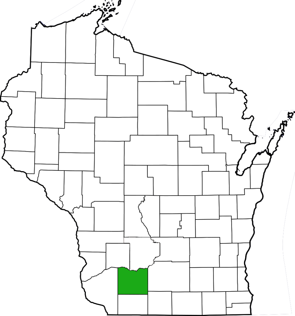
| County | Iowa |
| Parking | Lot |
| Trails | Yes (to reach near SNA); No (w/in SNA) |
| Easy to Find | Yes |
| Best Seen By | Foot (may need boat to reach) |
| Marked Boundaries | No |
| Ownership | Wisconsin DNR |
| Located Within | Tower Hill State Park (park sticker required) |
| Dates Visited | 5.30.09 |
|
|
|---|