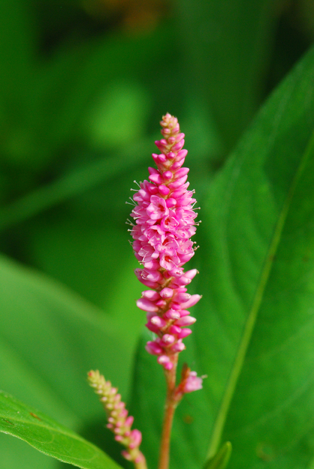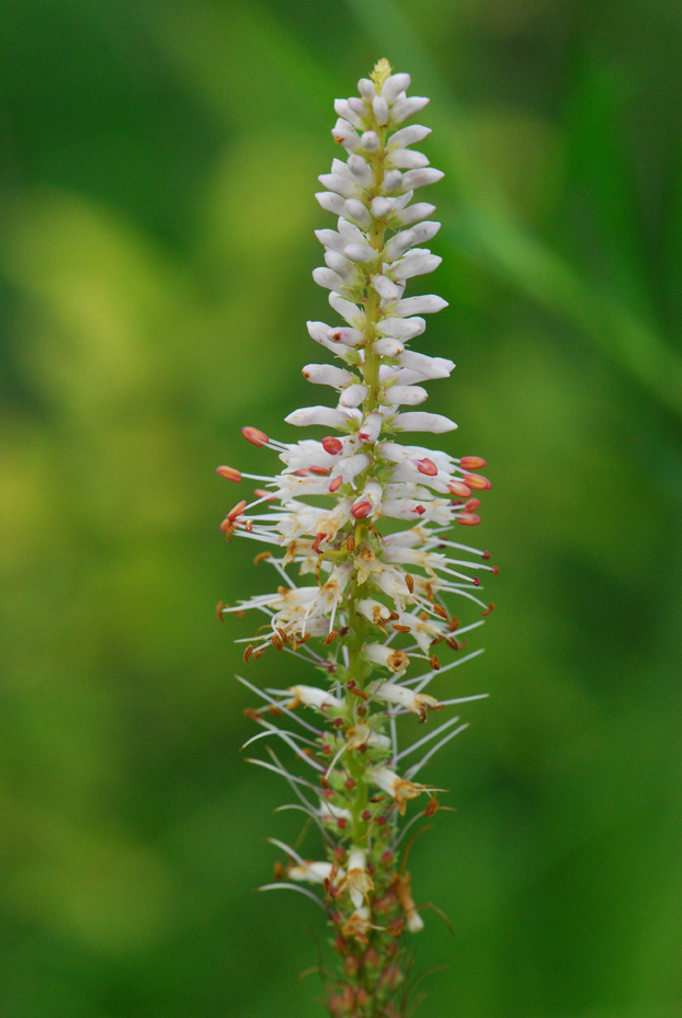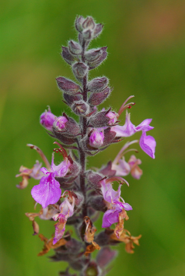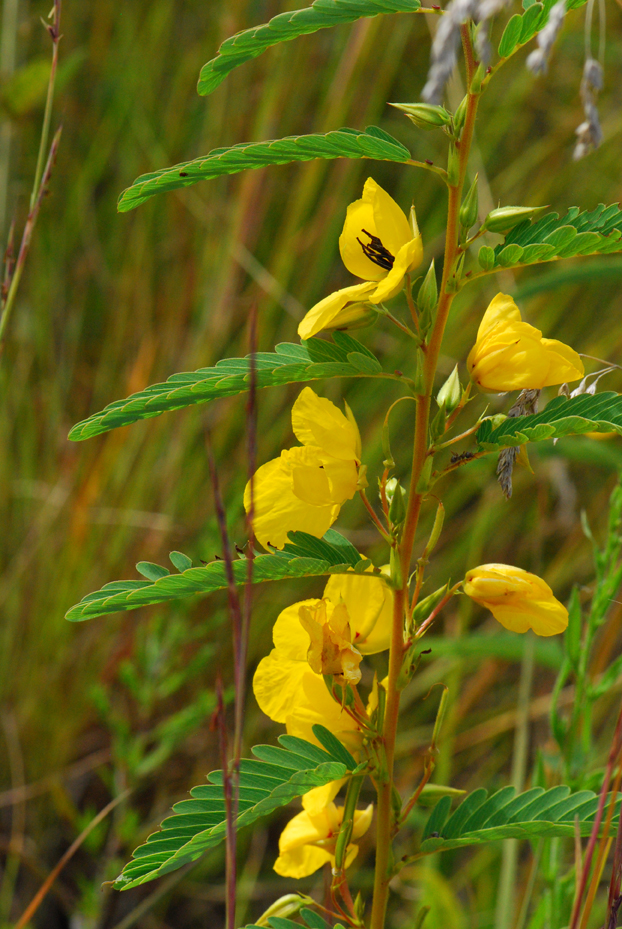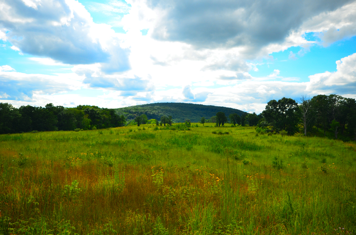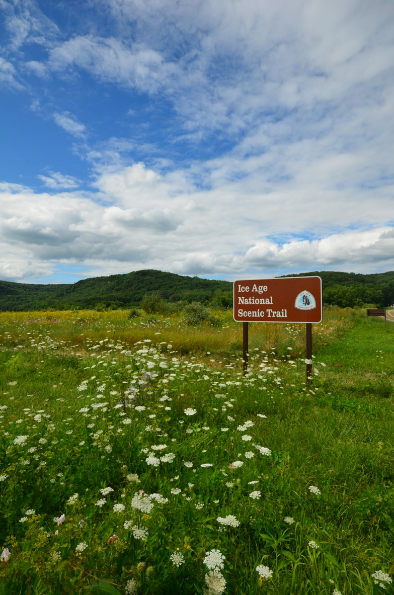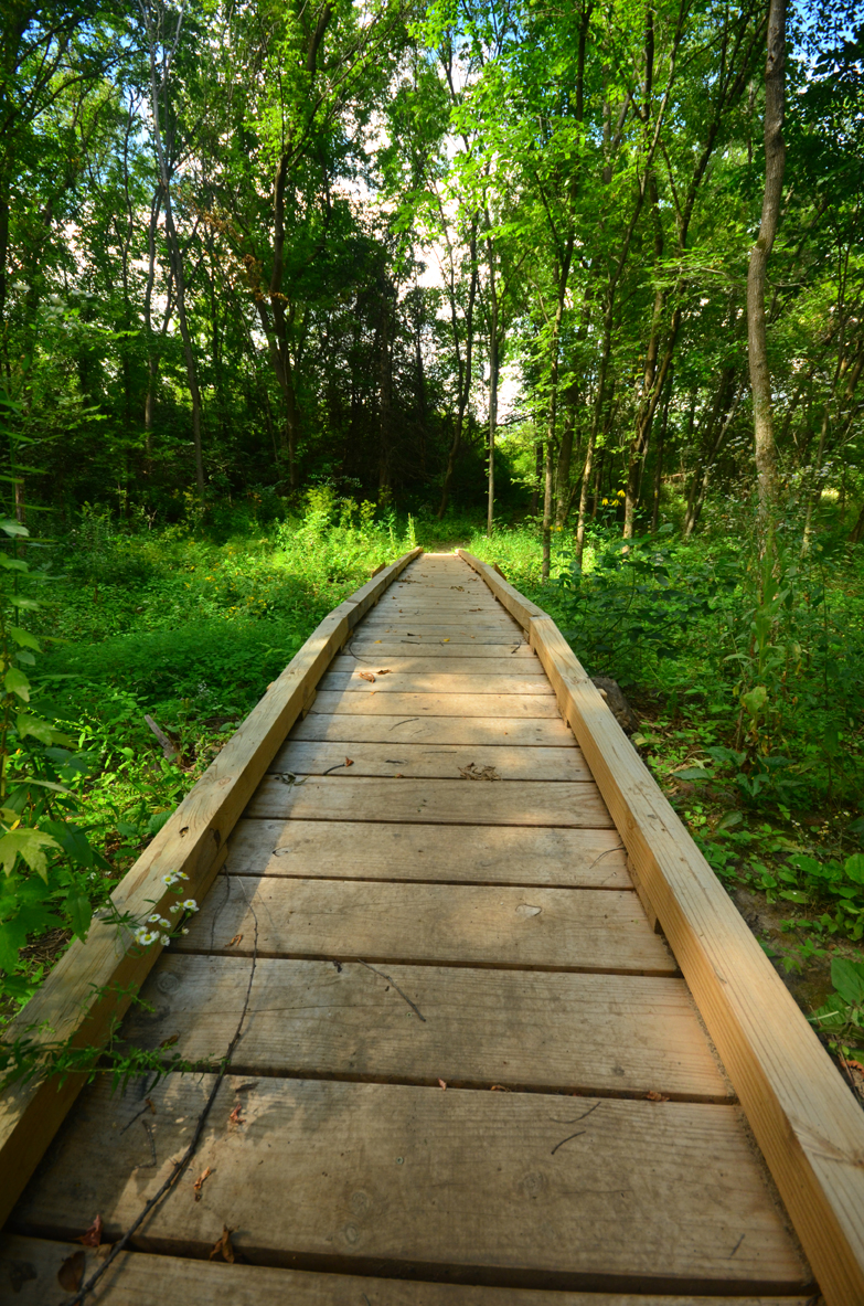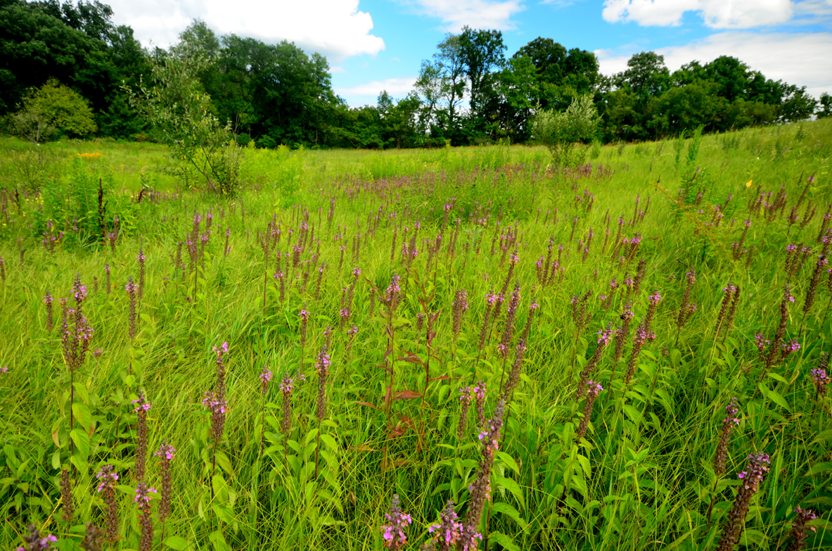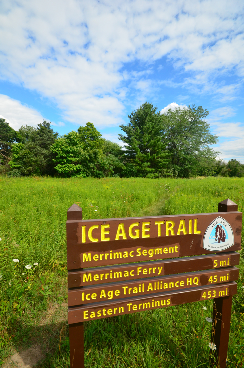
This segment begins near the outer reaches of Devil’s Lake State Park, specifically the Roznos Meadow. I was able to serve as a field editor for the latest edition of the IAT Field Guide and Atlas. Here is the description I wrote, as modified from the 2011 version:This segment highlights the diverse landscape of Riverland Conservancy’s Merrimac Preserve and offers a quiet break from the crowds at Devil’s Lake. The segment passes through the Merrimac Preserve, a preserve owned and managed by the Riverland Conservancy that encompasses more than 1,800 acres of forest, prairie, savanna, wetlands and streams. The preserve provides an integral wildlife corridor between the Baraboo Bluffs and the Wisconsin River. Riverland Conservancy began in 1997 as Wisconsin Power and Light Stewardship Trust through the generous donation of lands and equipment by Wisconsin Power and Light Co. Due to its range of ecosystem types, this segment contains a diverse array of flora, particularly during the warmer times of the year.Across Highway 113/DL, the trail quickly heads into a wooded area passing by a hidden stream followed by a footbridge before a entering a prairie opening that leads to Highway DL. Across the highway, the trail continues through a diverse prairie before descending towards a wetland and utilizing a boardwalk. The trail climbs gently and enters a savanna with a few informational signs about groundwater and invaseive species before returning to the woods. Through this savanna area, views to the west feature the bluffs of Devil’s Lake State Park and the terminal moraine between them. From the woodland, the trail enters a second wetland area with a boardwalk meandering a longer distance than the first. From the boardwalk, the segment continues alongside a meadow before joining a snowmobile trail briefly before reaching Marsh Road. East of Marsh Road, the trail passes through a savanna grading back into the woods. This area has recently been subject to a timber harvest. Most of this portion of the trail continues winding through the woods at one point opening up to reveal a primitive airstrip mown into a field. The trail then heads into a wooded kettle and then sharply east to a recently logged area before gently curving through the woods to the endpoint on Marsh Road.