Cudahy Woods features several forested natural communities: mesic, dry-mesic, and wet-mesic just a short distance from the Milwaukee Airport. An unmarked driveway on the south side of College Avenue, approximately 1.5 miles east of I94. The driveway leads to a small parking area and subsequently a paved loop closer to the trailhead.
The trail forms a loop, at the bottom of which, a spur of the trail leads across a footbridge over a small stream and to another loop south of the stream. The trail is not marked, but very obvious as it is quite worn. A photo of the trail map is shown below. Both of my visits here have been in summer/early autumn and as a result I have missed both spring ephemeral and fall color seasons. Those would be the best times to visit this site, in my opinion. Otherwise, prepare for a nice walk under a thick canopy of trees with little light to photograph in. Not too shabby for being smack dab in the city of Milwaukee!


More of my photos (and full-res) from Cudahy Woods can be viewed here.
Just under 400 more blog posts to go! Well, actually a few more than that remain; counting SNA’s delisted since I started and a few SNA’s to be designated, the current total is 689, though hopefully, that will increase!
If you would like to help support this project, please consider a donation. There are many SNA’s yet to visit and even more to revisit and I ultimately plan to write a book about my adventures. Thank you!

Additional Information
| SNA # | 351 |
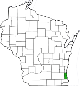
| County | Milwaukee |
| Natural Communities / Geology | Southern Dry-Mesic Forest, Southern Mesic Forest, Southern Wet-Mesic Forest |
| Size (Acres) | 42 |
| Parking | Parking Lot (paved) |
| Trails | Yes |
| Easy to Find | Yes |
| Best Seen By | Foot |
| Marked Boundaries | Yes |
| Ownership | Milwaukee County; More info: Wisconsin DNR |
| Located Within | n/a |
| Dates Visited | 6.16.13 / 9.3.16 |
|
|
|---|